Stake attention in this memory
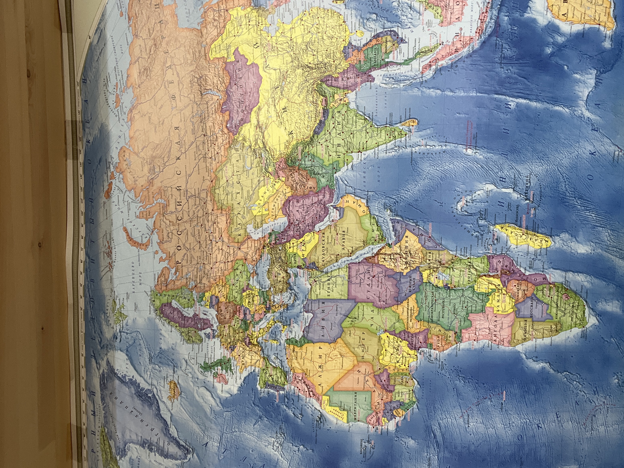
A physical and political world map, predominantly in Cyrillic script, is displayed in an indoor setting, likely affixed to a wall or large surface, with a wooden border visible on the left side. The image is rotated 90 degrees clockwise, showing the map with Europe and Africa positioned on the left, Asia on the right, and the Arctic region at the top. The map illustrates geographical features and political boundaries using varied colors. Landmasses are depicted in different hues to distinguish countries, such as the large orange expanse of Russia ("РОССИЙСКАЯ"), the yellow regions of China ("КИТАЙ") and Mongolia ("МОНГОЛИЯ"), and the green of India ("ИНДИЯ"). The continent of Africa is prominently featured in diverse colors, showing countries like Algeria ("АЛЖИР"), Libya ("ЛИВИЯ"), Egypt ("ЕГИПЕТ"), Sudan ("СУДАН"), South Sudan ("ЮЖНЫЙ СУДАН"), Angola ("АНГОЛА"), Namibia ("НАМИБИЯ"), Botswana ("БОТСВАНА"), and the South African Republic ("ЮЖНО-АФРИКАНСКАЯ РЕСПУБЛИКА"). Oceans are rendered in shades of blue, with bathymetric details indicating underwater topography. Visible ocean labels include "ИНДИЙСКИЙ ОКЕАН" (Indian Ocean), "БАРЕНЦЕВО МОРЕ" (Barents Sea), "ВОСТОЧНО-СИБИРСКОЕ МОРЕ" (East Siberian Sea), and parts of the "АТЛАНТИЧЕСКИЙ ОКЕАН" (Atlantic Ocean). Greenland ("ГРЕНЛАНДИЯ") is visible in the top left, and Madagascar ("МАДАГАСКАР") is off the coast of southeastern Africa. The map provides a detailed overview of the Eastern Hemisphere, with clear labeling of countries, major cities, and bodies of water in Russian. No activity is taking place; it's a static image of the map.
No transactions found