
Stake attention in this memory
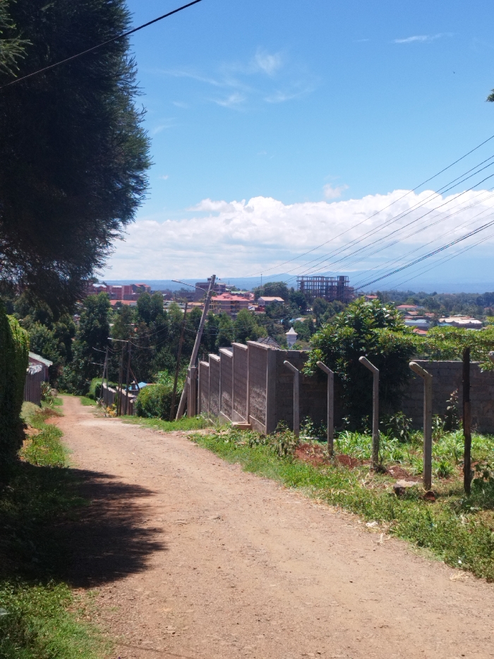
The image shows a dirt road in Nyeri, Kenya, at the coordinates -0.431 latitude, 36.971 longitude. The road slopes downward from the viewer's perspective, with a concrete wall and fence on the right side. The wall is constructed of gray concrete blocks and is topped with a metal fence. Beyond the wall, there are several trees and shrubs, as well as a grassy area. In the background, there are several buildings, some of which appear to be under construction. The sky is blue with some white clouds. The image was taken on a sunny day. The road is empty of any people or vehicles. There are electrical wires running overhead. The image is taken at a low angle, looking down the road. The road is about 5 meters wide. The wall is about 2 meters high and 10 meters long. The trees are about 5 meters tall. The buildings are about 10 meters tall. The grass is about 10 centimeters high. The image is well-lit and the colors are clear. There is a green bush on the left side of the image. The image is a clear representation of a typical residential area in Nyeri.
Loading AttnAds…
No transactions found