Stake attention in this memory
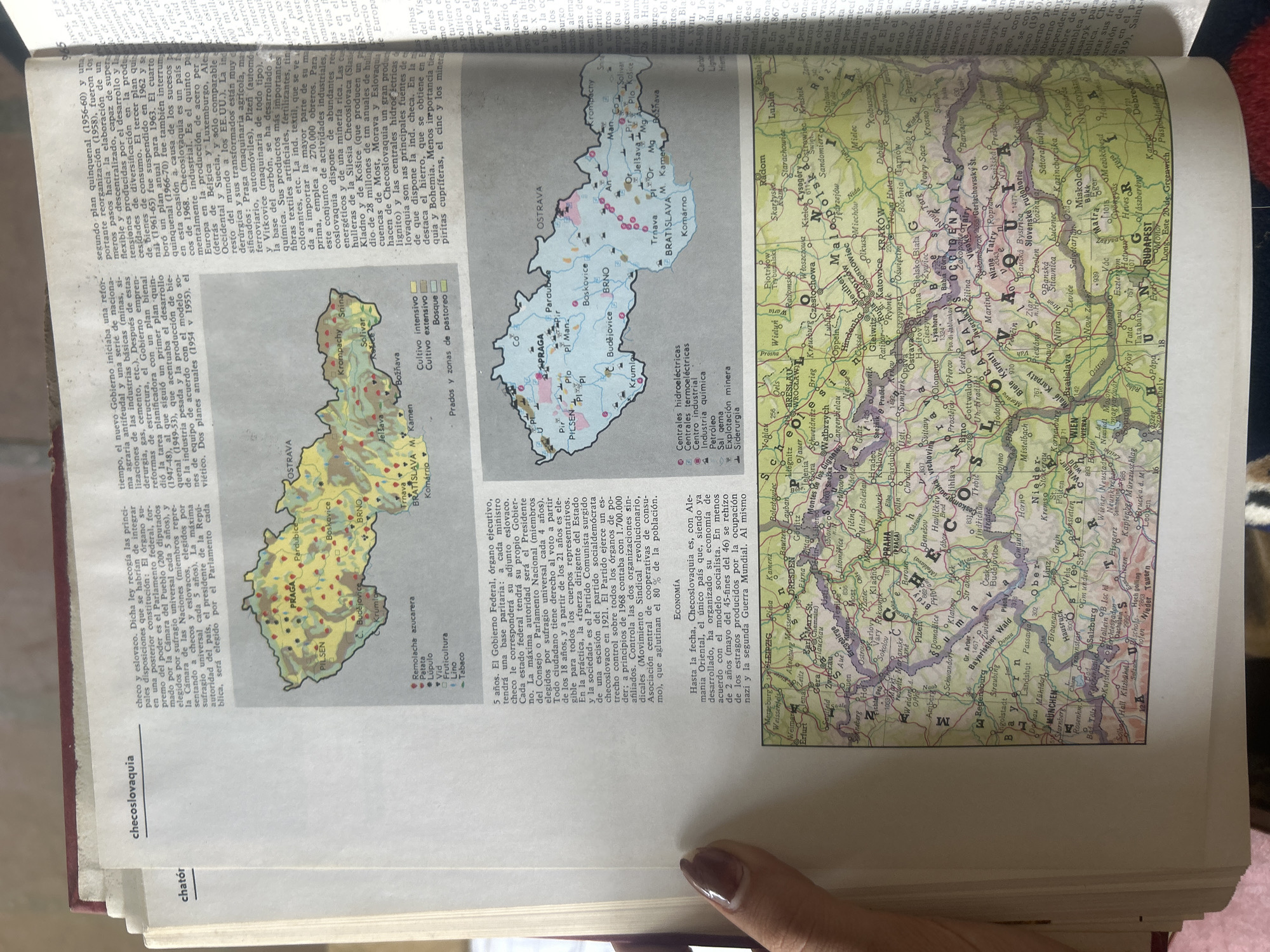
The media file is a photograph of an open book. The left page displays text and a map of Czechoslovakia. The text discusses the country's government structure, mentioning a Federal government, executive branch, president, and parliament. It also touches on the economy, noting its organized socialist structure and industrial output. The map of Czechoslovakia shows various cities, regions, and symbols indicating hydroelectric plants, thermal electric plants, coal mining, iron mining, and sulfur mining. The right page contains a detailed map of Central Europe, featuring cities like Prague, Vienna, Budapest, and Munich, along with rivers and mountain ranges. The subjects are the book itself, the printed content within it, and a partial view of a person's hand at the bottom right of the image, suggesting someone is holding or turning the pages. The scene is an indoor setting, likely a room with ambient lighting. No specific time of day or weather conditions are discernible. The location context provided, Santa Ana, Venezuela, is not directly represented in the visual content of the media file; the maps and text pertain to Europe. Notable details include the clarity of the maps and text, allowing for easy reading of place names and symbols. The texture of the book's pages and binding are visible. The person's fingernail is visible, and a slight shadow is cast on the right page, indicating the direction of the light source. Visible text includes titles like "checoslovaquia," "chátor," and place names on the maps such as "PRAGA," "BRATISLAVA," "VIENA," "BUDAPEST," and "MUNICH." There are also labels for different types of land use and economic activities on the smaller map of Czechoslovakia.
No transactions found