Stake attention in this memory
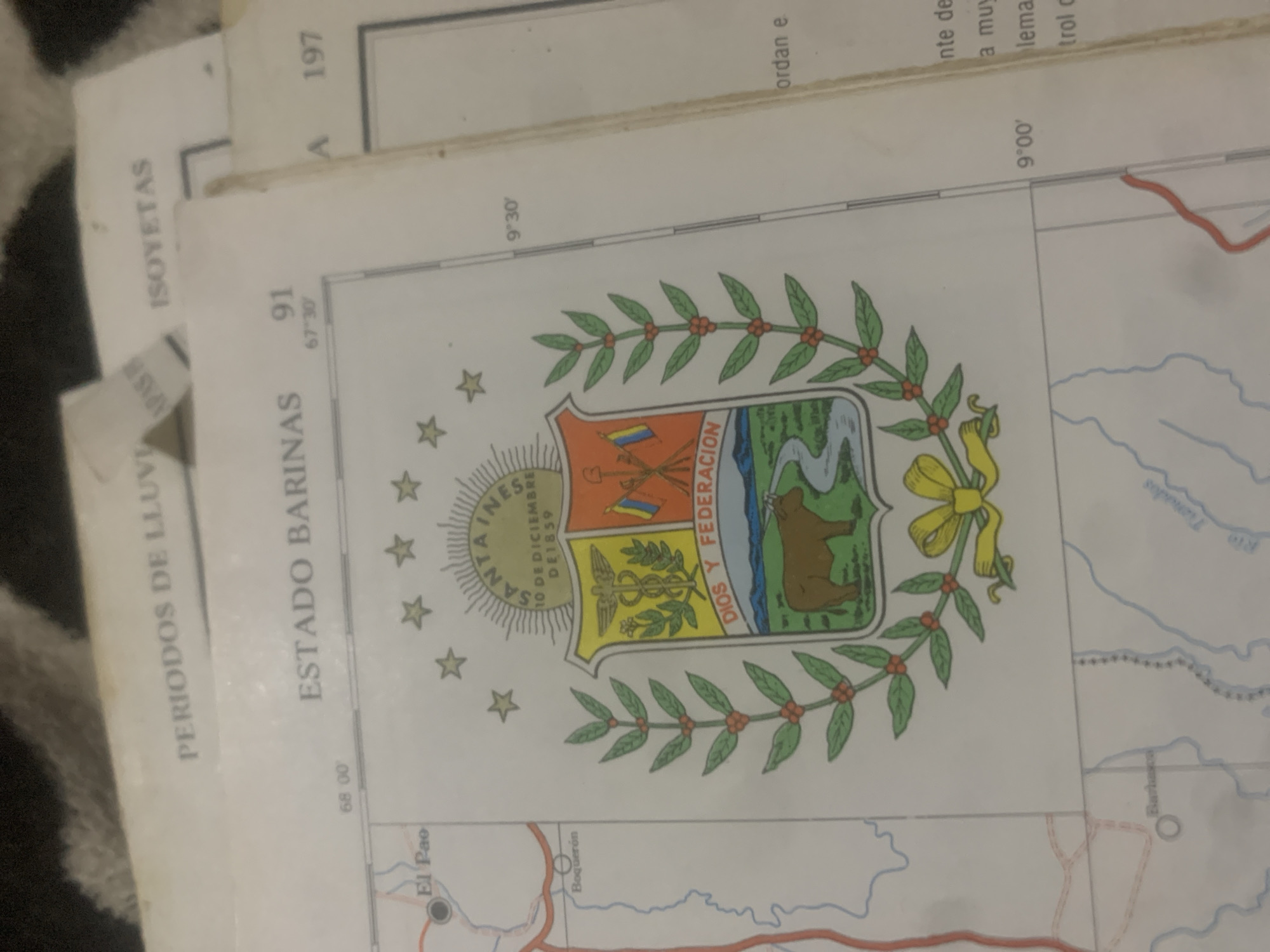
The image shows a close-up view of a map with a coat of arms prominently displayed. The map appears to be of Venezuela, as indicated by the text "ESTADO BARINAS" which refers to the Barinas State in Venezuela. The coat of arms features a shield divided into sections, with symbols including a caduceus, flags, a cow, and a river. Above the shield are stars and text that reads "SANTA INES 10 DE DICIEMBRE DE 1859". Below the shield, the text "DIOS Y FEDERACION" is visible. The map also displays geographical features such as rivers and the locations of towns like "El Pao" and "Boquerón". Latitude and longitude lines are also present on the map. In the bottom left corner, the word "Barbacoa" is legible near a river. The environment appears to be indoors, with the map laid out on a surface, possibly a table. The background is dark and out of focus, with some texture suggesting fabric. The lighting is somewhat dim, highlighting the details of the map. While the map indicates the state of Barinas and mentions locations like El Pao and Boquerón within that state, it does not specifically show or refer to the city of La Tagua.
Loading AttnAds…
No transactions found





