Stake attention in this memory
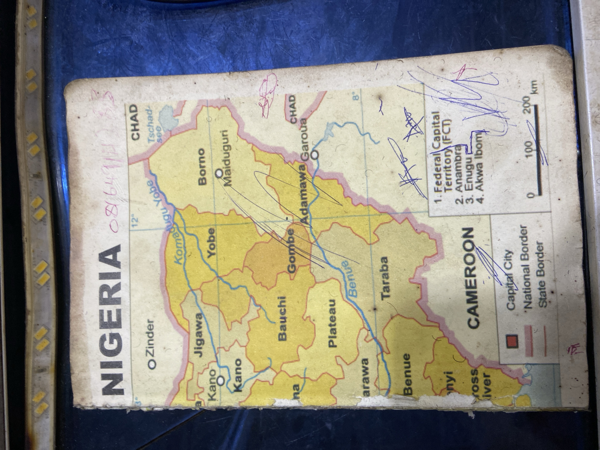
This media file is a close-up, top-down view of a worn and partially damaged map, specifically of Nigeria and its surrounding regions, including Chad and Cameroon. The map appears to be a paper document, showing internal state borders within Nigeria, major cities, and geographical features like rivers and lakes. Several areas are highlighted with blue ink scribbles and what appear to be handwritten notes. The prominent text on the map includes "NIGERIA" written vertically along the left side, and names of various states and cities such as "CHAD," "Borno," "Maiduguri," "Yobe," "Kano," "Adamawa Garoua," "Plateau," "Benue," "Taraba," and "CAMEROON." There are also lists of numbered items, with "1. Federal Capital Territory (FCT)," "2. Anambra," "3. Enugu," and "4. Akwa Ibom" being partially visible. A scale bar indicating distance in kilometers (0, 100, 200 km) is also present. The map exhibits signs of age and use, with creases, smudges, and some fraying at the edges. The blue ink markings suggest that the map has been used for annotation or planning. The lighting suggests an indoor setting, with a strong light source illuminating the map, possibly from LED strip lights visible along the left edge of the frame. There are no people or animals visible in the image, only the map itself and the background surface it rests upon, which appears to be a textured, dark material, possibly a table or a notebook cover. The overall impression is of a well-used reference tool.
No transactions found