Stake attention in this memory
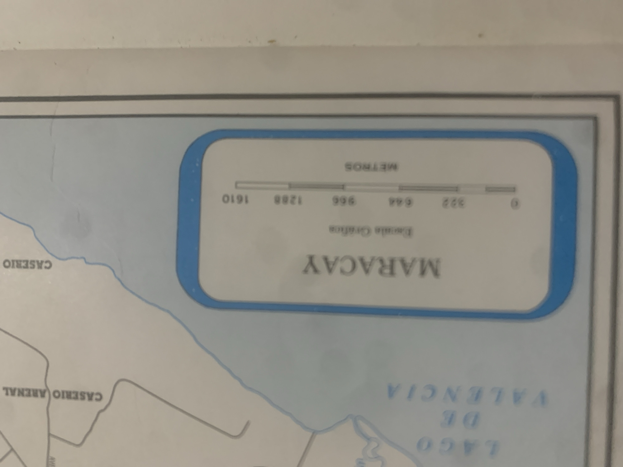
This is a close-up of a map, likely from Venezuela, showing a section of a water body labeled "LAGO DE VALENCIA" and a city called "MARACAY". The map also indicates two "CASERIO" (hamlets or rural settlements), "ARENAL" and another illegible one. A scale bar with the word "METROS" is visible, indicating distances in meters. The scale ranges from 0 to 1610 meters, with markings at 322, 644, 966, and 1288 meters. Below the scale bar, text reads "Escala Gráfica," meaning "Graphic Scale." The map shows a shoreline and a body of water, with the city of Maracay positioned near the water. The "Caserio Arenal" is depicted as a distinct area on land. The image is brightly lit, and the overall impression is of a detail from a navigational or geographical map. The map appears to be printed on a light-colored material, possibly paper or vinyl, and is framed by a border. The image quality is somewhat grainy, suggesting it might be a photograph of the map.
Symbol
6CBD5
Volume
11,550
Creator
+$0.14
Revenue
+$0.24
TVL
$11.65
2
Rev Bot 🤖💰
Injected revenue 6d ago
“Revenue bonus for the last stake.”
+$0.27 USD


