Stake attention in this memory
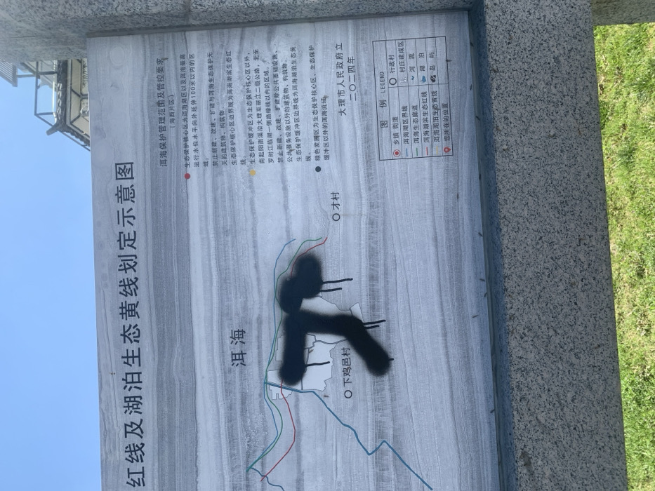
The image shows a signpost with a map of the area near Erhai Lake in Dali, China. The signpost is located at latitude 25.733 and longitude 100.178. The map is labeled "红线及湖泊生态线划定示意图," or "Red Line and Lake Ecological Line Designation Diagram." The map outlines the boundaries of the lake and surrounding areas, with various lines and symbols indicating different zones: * **Red Line**: Indicates the boundary of a restricted area * **Green Line**: Shows the boundary of the "Lake Ecological Protection Zone" * **Blue Line**: Represents the boundary of the "Lake Ecological Conservation Zone" * **Yellow Dot**: Marks the location of the "Lake Ecological Protection Zone" * **Black Dot**: Indicates the location of the "Nature Reserve" The map also includes the labels "洱海" (Erhai Lake), "下戛甸村" (Xiajiadian Village), and "大理市人民政府立" (Dali People's Government). The signpost is partially obscured by a large black spray paint symbol. The signpost is located on a grass-covered ground. The environment is a nature reserve and a protected area. The signs are in Chinese.
No transactions found