
Stake attention in this memory
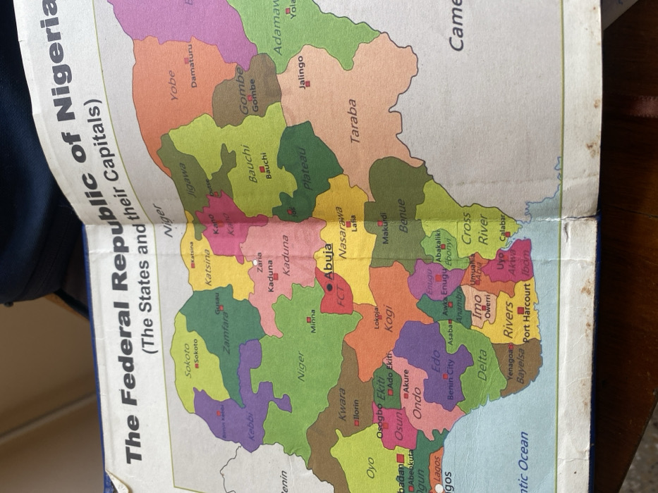
This image displays an open book, viewed from a high angle, presenting a political map titled "The Federal Republic of Nigeria (The States and their Capitals)." The map spans two pages, deeply creased and folded vertically at the book's spine. Nigeria's geographical outline is rendered in various distinct colors for each of its states and the Federal Capital Territory (FCT), including prominent labels for states such as Sokoto, Kebbi, Zamfara, Katsina, Kano, Jigawa, Yobe, Bauchi, Gombe, Adamawa, Taraba, Plateau, Benue, Nasarawa, FCT, Niger, Kwara, Kogi, Oyo, Osun, Ekiti, Ondo, Edo, Delta, Bayelsa, Rivers, Imo, Abia, Akwa Ibom, Cross River, Ebonyi, and Enugu. Capital cities, identified by small red squares or dots with accompanying text, include Abuja (FCT), Sokoto, Gusau, Katsina, Kano, Damaturu, Bauchi, Jalingo, Jos, Makurdi, Lafia, Minna, Ilorin, Osogbo, Akure, Benin City, Port Harcourt, Uyo, and Calabar. Portions of neighboring countries, specifically Benin, Niger, and Cameroon, are visible on the map's periphery, as is the Atlantic Ocean. The map paper exhibits minor creasing, smudges, and slight discoloration, particularly near the fold. A dark blue book cover is partially visible along the top and bottom edges. No individuals or direct actions are depicted. This scene is located in Accra, Ghana.
Loading AttnAds…
No transactions found