Stake attention in this memory
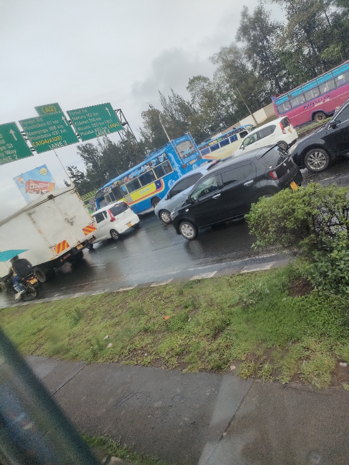
The image depicts a congested multi-lane highway in Nairobi, Kenya, under an overcast sky with a wet, reflective road surface, indicating recent precipitation. The view is from a slightly elevated vantage point, possibly from an adjacent road or overpass, looking down onto traffic moving slowly or stationary. In the midground and background, multiple vehicles are present. From left to right: a white box truck with an orange and white reflective stripe on its rear is partially visible, with a person on a black motorcycle positioned to its left. Following this is a white compact car, a light blue sedan, and a prominent black compact SUV with a yellow license plate. Further to the right are a dark grey sedan/SUV and a white van. In the background, several large public transport buses (Matatus) are visible, including a blue bus with yellow and light blue accents, and a bright pink bus with white text. Overhead, a large green gantry road sign displays white text for various routes and destinations. The sign indicates "A2" with arrows pointing left and straight, and lists destinations such as "Forest Rd," "Machakos 61 km," "Namanga 168 km," "Mombasa 476 km (A104/A109)," "Nanyuki 162 km," "Eldoret 316 km," "Kisumu 350 km (A104)," and "Malaba 482 km," along with "LANE 3," "LANE 4," and "LANE 2" (partially obscured). These routes and destinations confirm the location as a major highway junction in Nairobi, specifically consistent with the Museum Hill Interchange area, where the A2 (Thika Road), A104 (Uhuru Highway/Waiyaki Way), and A109 (Mombasa Road) converge and diverge. An advertising billboard featuring "Digestive" is partially visible behind the left section of the road sign. The immediate foreground shows a grassy, somewhat unkempt embankment bordering the highway.
Loading AttnAds…
No transactions found