Stake attention in this memory
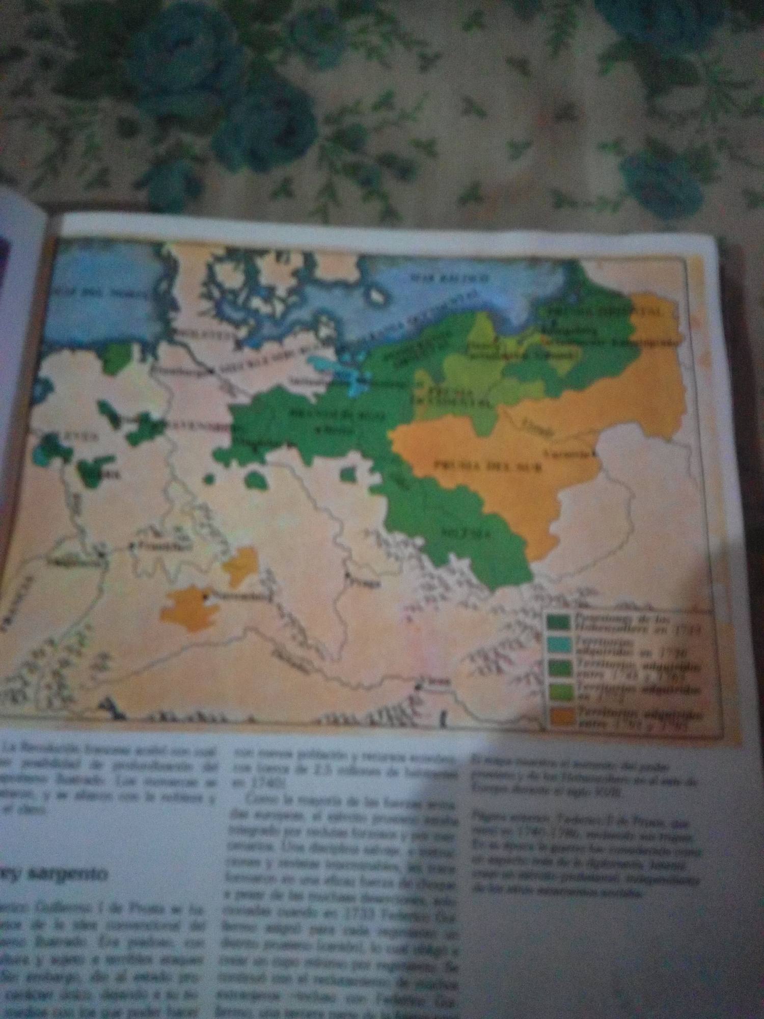
The image shows a blurred map with colorful regions and text. A legend on the right side of the map shows different colored squares and associated text in Spanish, indicating territories and their acquisition dates, such as "Territorio adquirido en 1772" and "Territorio adquirido entre 1740 y 1790". The map itself depicts geographical areas with some water bodies and landmasses. Below the map, there is text in Spanish, and a heading that reads "rey sargento". The question asks for a description including the location in the city of La Tagua, Venezuela. However, the provided image is a historical map and its accompanying text. There is no visual information or textual reference within the image that suggests a connection to La Tagua, Venezuela, or any specific city or location in that country. The map appears to be of a European region, possibly related to Prussia or a similar historical German-speaking area, given the legend mentioning "Hohenzollern". Therefore, it is not possible to describe the scene in La Tagua, Venezuela based on this image.
Symbol
6FE01
Volume
0
Creator
+$0.03
Revenue
+$0.00
TVL
$0.00
Loading AttnAds…

2

Rev Bot 🤖💰
Injected revenue 3mo ago
“Revenue bonus for the last stake.”
+$0.07 USD






