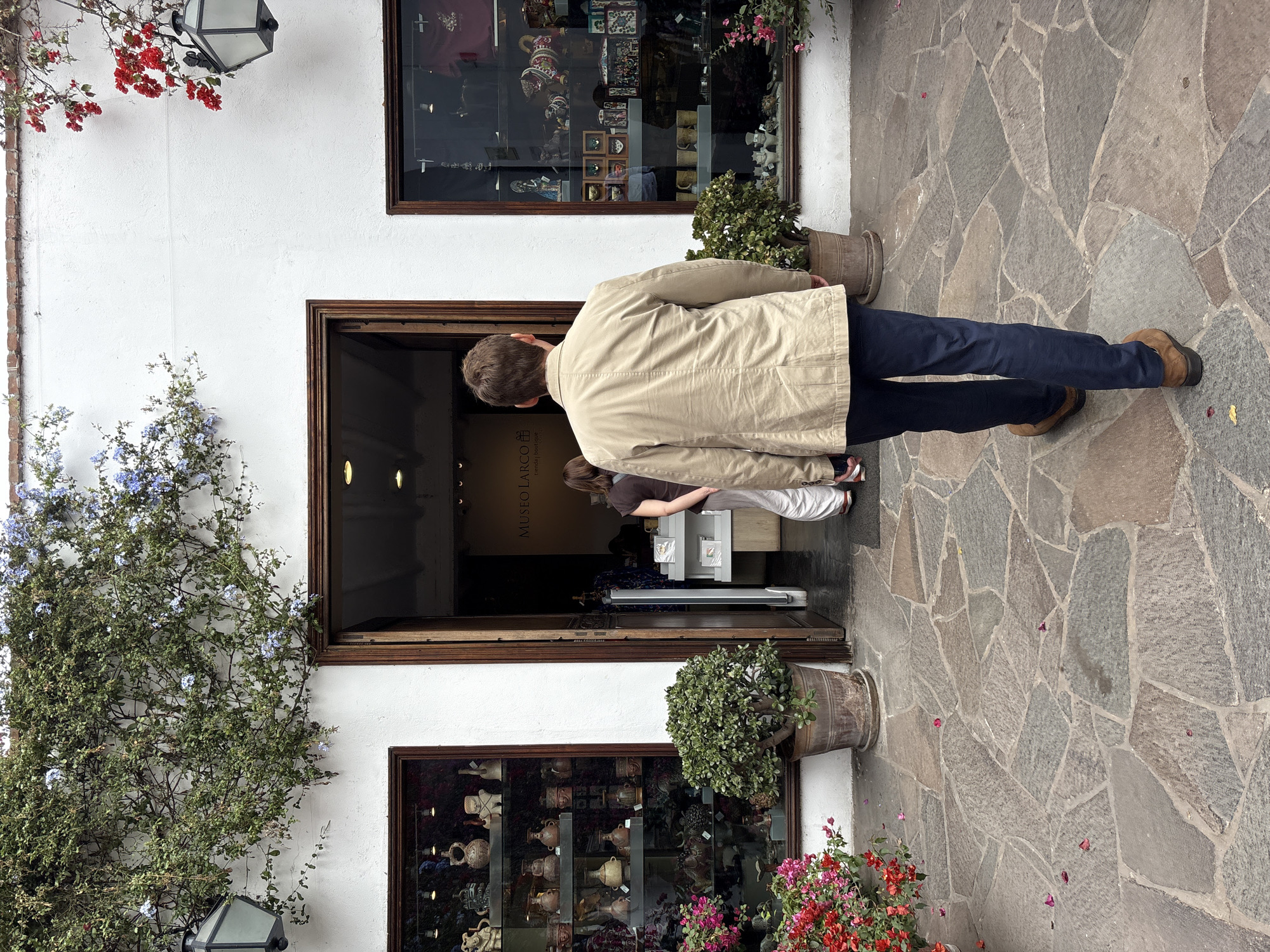
Stake attention in this memory
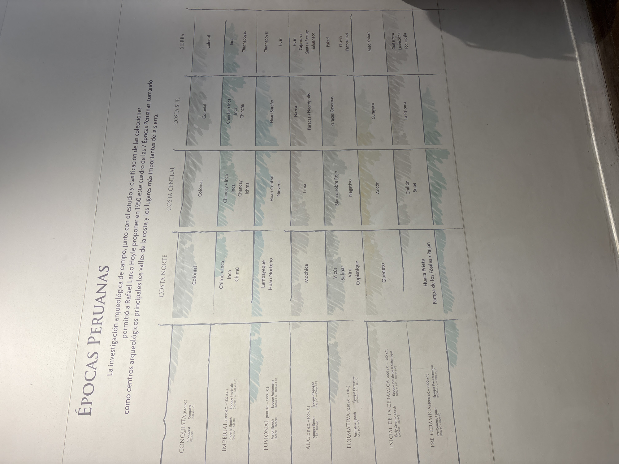
The image displays an informational exhibit board, likely from a museum or archaeological center in Pueblo Libre, Peru. The central subject is a large, light-colored chart titled "ÉPOCAS PERUANAS" (Peruvian Epochs). Accompanying text explains that this classification of seven Peruvian Epochs, focusing on major archaeological sites in the coastal valleys and highlands, was proposed in 1950 by Rafael Larco Hoyle, based on field research and collection studies. The chart is structured with distinct time periods listed vertically on the left, including: CONQUISTA (1532 AD), IMPERIAL (1300-1532 AD), FUSIONAL (800-1300 AD), AUGE (1-800 AD), FORMATIVA (1250 BC-1 AD), INICIAL DE LA CERÁMICA (2000-1250 BC), and PRE-CERÁMICA (8000-2000 BC). Horizontally, the chart is divided into geographical regions: COSTA NORTE (North Coast), COSTA CENTRAL (Central Coast), COSTA SUR (South Coast), and SIERRA (Highlands). Within the grid, various ancient Peruvian cultures and archaeological sites are listed corresponding to their respective periods and regions. Examples include Chimú, Inca, Chancay, Nazca, Mochica, Huari, Paracas, Chavín, Pukará, Lambayeque, Huaca Prieta, Paiján, Curayaco, and Mito-Kotosh. The text is black on a light background, and some areas feature subtle, light gray shading. The image captures reflections on the board's surface, characteristic of a glossy display under indoor lighting. No individuals are visible, indicating the scene is focused solely on the exhibit itself.
Symbol
7072A
Volume
0
Creator
+$0.05
Revenue
+$0.00
TVL
$0.00
2
Rev Bot 🤖💰
Injected revenue 20d ago
“Revenue bonus for the last stake.”
+$0.11 USD