Stake attention in this memory
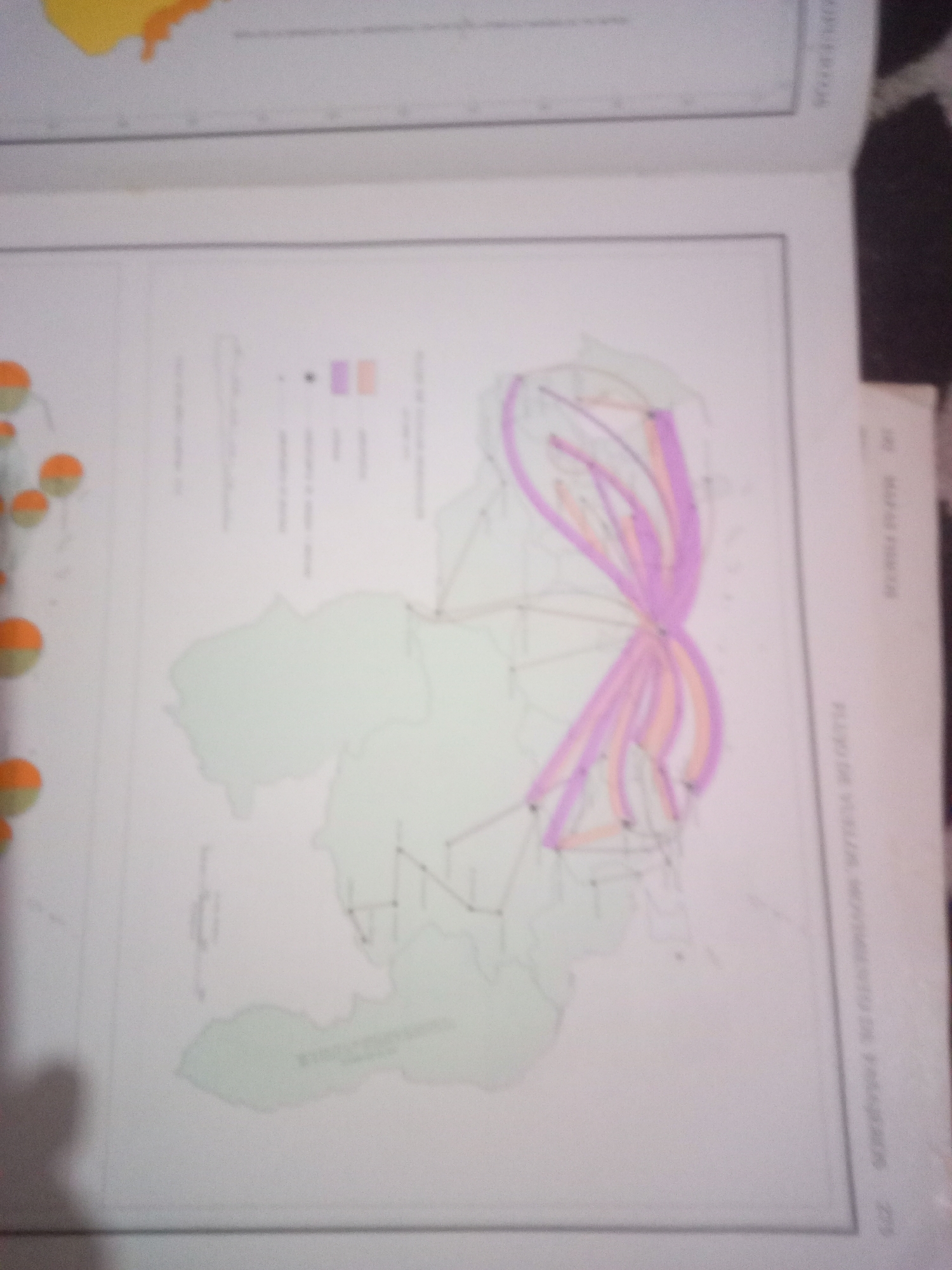
This is a photograph of a map, likely from a book or atlas, depicting transportation routes within a geographical area. The map shows a light green outline of a region, possibly a state or province, with a network of thin black lines representing roads or other connections. Several wider bands of color, in shades of purple and orange, are overlaid on these lines, indicating different types of transportation or varying volumes of traffic. A small key or legend with colored dots and vertical lines is visible in the upper right quadrant of the map. In the lower right corner of the page, vertical text in a lighter color reads "MAPA DE VIALIDAD MOVIMIENTO DE PASAJEROS 275". There are no people or specific landmarks visible in the map itself. The image is slightly out of focus and appears to be taken from an angled overhead perspective.
Symbol
71AA2
Volume
11,550
Creator
+$0.03
Revenue
+$0.05
TVL
$2.40
Loading AttnAds…

2

Rev Bot 🤖💰
Injected revenue 3mo ago
“Revenue bonus for the last stake.”
+$0.05 USD






