
Sign in
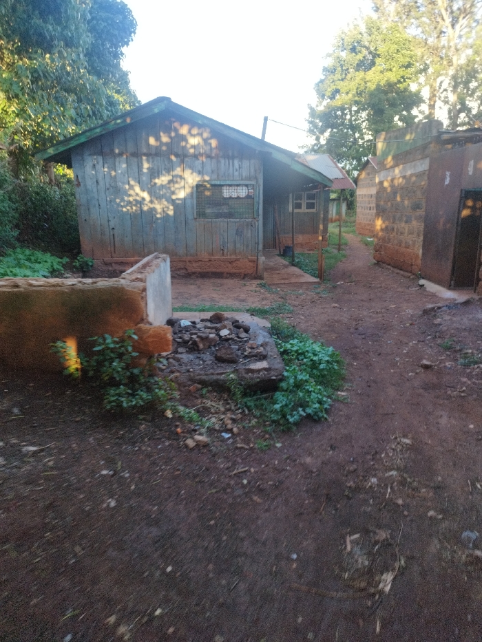
The image shows a dirt path in Nyeri, Kenya (latitude: -0.44, longitude: 36.969). The path is between two buildings. The building on the left is a wooden structure with a corrugated metal roof and has a window with metal bars. The building on the right is made of brick and has a metal door. There are trees and bushes growing on the property and shadows are cast on the buildings from the trees. The ground is dirt and there are some rocks and debris on the ground.  There are no people in the image.
Kanjes

May 7, 2025, 2:58 PM

Nyeri, Kenya

Stake attention in this memory

rustic
abandoned
gloomy
desolate
forgotten

The image shows a dirt path in Nyeri, Kenya (latitude: -0.44, longitude: 36.969). The path is between two buildings. The building on the left is a wooden structure with a corrugated metal roof and has a window with metal bars. The building on the right is made of brick and has a metal door. There are trees and bushes growing on the property and shadows are cast on the buildings from the trees. The ground is dirt and there are some rocks and debris on the ground. There are no people in the image.

Loading AttnAds…

transactions
revenues
stakers
Earliest
Latest
Highest stake

No transactions found

More from this user

More from Nyeri

Kanjes

May 7, 2025, 2:58 PM

Nyeri, Kenya

Licensed under Creative Commons Attribution 4.0 International License. You are free to share and adapt this content with proper attribution.