Stake attention in this memory
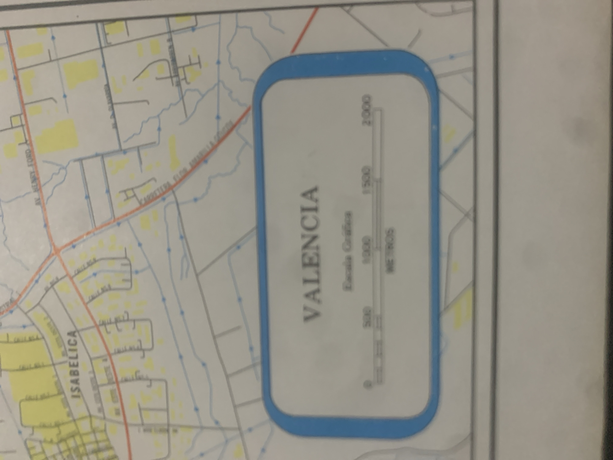
This image is a close-up of a map of a neighborhood. The map shows a grid of streets with some residential blocks indicated by yellow rectangles. A prominent red line represents a main road, possibly a highway. Several street names are visible, including "AV. HENRY FORD," "CARRETERA ELOH MANUELA GÓMEZ," and "ISABELICA." In the lower right portion of the image, a rounded rectangle with a blue border contains a scale bar and text. The text "VALENCIA" is written vertically, with "Escala Grafica" below it. The scale bar is divided into segments representing 0, 500, 1000, and 2000 "METROS." The map appears to be a plan for urban development or a detailed street map of a specific area within or near Valencia, Venezuela. There is no indication of people, specific time of day, or weather conditions. The map is likely an official document or a planning tool.
Symbol
73309
Volume
11,550
Creator
+$0.14
Revenue
+$0.23
TVL
$11.64
2
Rev Bot 🤖💰
Injected revenue 6d ago
“Revenue bonus for the last stake.”
+$0.25 USD


