Stake attention in this memory
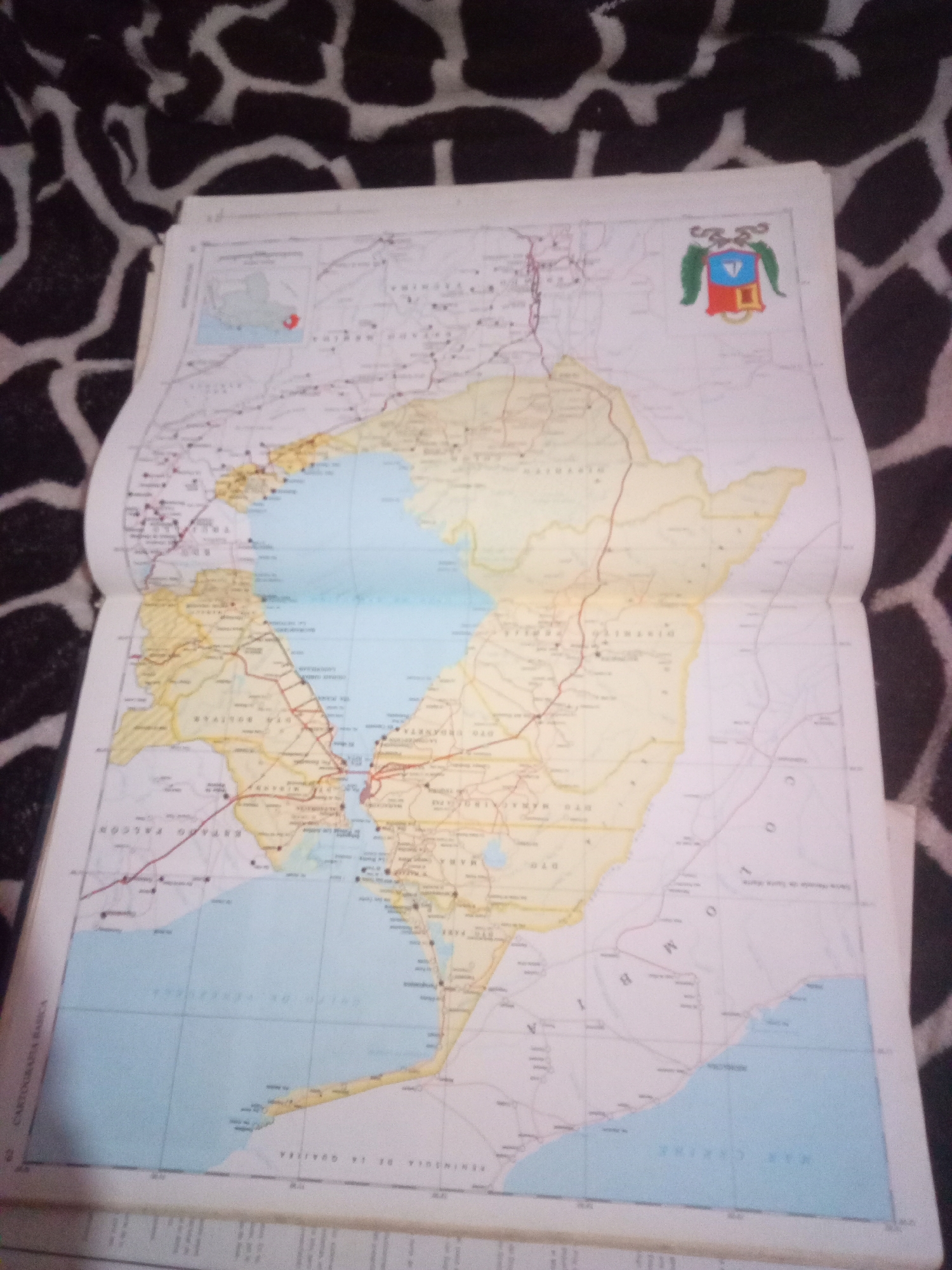
The image displays an open map book, likely a road atlas or a geographical survey, laid out on a black and white patterned fabric. The map itself depicts a coastal region, with a large body of water, labeled as "MAR CARIBE," dominating the lower portion of the image. Several landmasses are visible, delineated by yellow and white regions, with numerous roads and settlements marked. The map includes a coat of arms in the upper right corner, featuring a shield with multiple segments and crests. The text on the map is in Spanish, with some labels like "ESTADO FALCON" and "PENINSULA DE LA GOAJIRA" being discernible, indicating a focus on Venezuela's geography, specifically the Falcon state and the Guajira Peninsula. There are no people or any actions or interactions visible in the image. The environment depicted is that of a map laid out for viewing. The specific location of La Tagua, Venezuela, is not explicitly identifiable from the visible text or markings on this particular section of the map, though the overall map is clearly of Venezuelan territory.
Symbol
73632
Volume
0
Creator
+$0.03
Revenue
+$0.00
TVL
$0.00
Loading AttnAds…

2

Rev Bot 🤖💰
Injected revenue 3mo ago
“Revenue bonus for the last stake.”
+$0.07 USD






