Stake attention in this memory
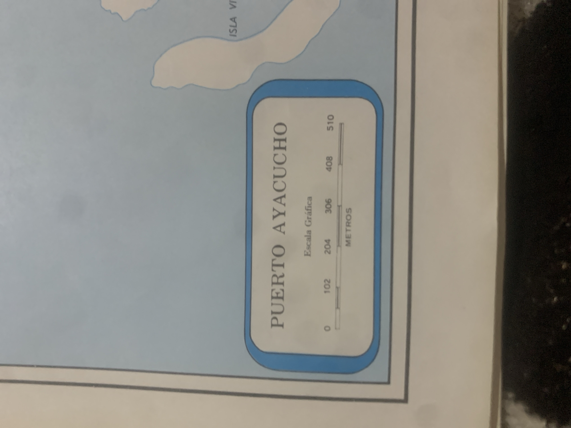
This media file is a close-up photograph of a map detail, likely from a printed document. The map displays a body of water with landmasses, one labeled "ISLA V," suggesting an island. Prominently featured is a rectangular inset box with a blue outline containing a scale bar and text. The inset box is oriented vertically within the image. The text within the inset box reads "PUERTO AYACUCHO" in large, capitalized letters. Below this, in smaller text, are "Escala Gráfica" and "METROS". A scale bar is depicted with numerical markers: 0, 102, 204, 306, 408, and 510. This indicates a graphic scale measuring distance in meters. The overall scene is a still image of a map, suggesting an informational or cartographic context. There are no people, animals, or discernible weather conditions. The lighting appears to be from an artificial source, casting soft illumination on the map. The background of the original image is dark and textured, possibly indicating the environment where the photograph was taken. The location context provided is La Tagua, Venezuela, which might be the geographical area represented by the map, or the location where this map is found.
Symbol
73A65
Volume
0
Creator
+$0.03
Revenue
+$0.00
TVL
$0.00
Loading AttnAds…

2

Rev Bot 🤖💰
Injected revenue 2mo ago
“Revenue bonus for the last stake.”
+$0.07 USD





