Stake attention in this memory
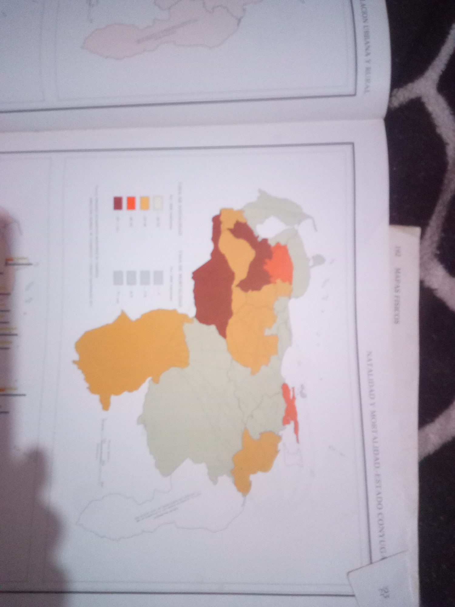
The image shows a page from a book with maps. One map is a political map of Venezuela, with different regions colored. A legend indicates that the colors represent different population densities. To the right of the map, text in Spanish reads "MAPAS FISICOS" and "NATALIDAD Y MORTALIDAD ESTADO CONUEGA". There is also a smaller map fragment at the top of the page, which appears to be another map of a different region. The page is partially obscured by a dark, textured surface, possibly a rug, and a shadow falls across the lower part of the image. There are no people or specific locations within La Tagua, Venezuela, depicted in this image.
Symbol
73EF0
Volume
11,550
Creator
+$0.03
Revenue
+$0.04
TVL
$2.39
Loading AttnAds…

2

Rev Bot 🤖💰
Injected revenue 3mo ago
“Revenue bonus for the last stake.”
+$0.04 USD






