Stake attention in this memory
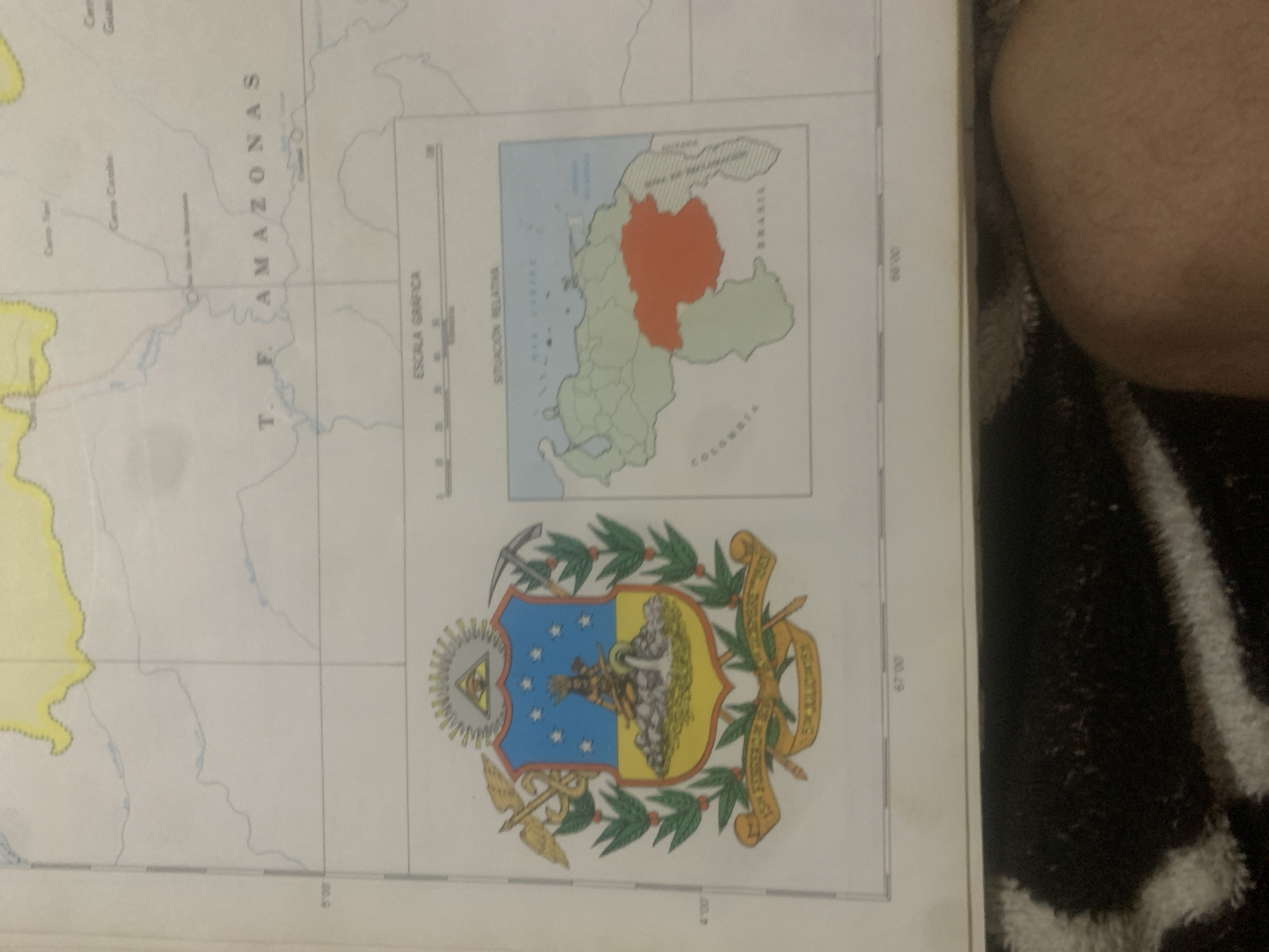
The image shows a map of Venezuela with several key features. In the center left is the Coat of Arms of Venezuela, featuring a shield with stars, a native figure, and agricultural and industrial symbols. To the right of the coat of arms is a smaller map of Venezuela showing its relative location within South America, with the state of Amazonas highlighted in orange. Below these are graphic scales and latitude/longitude markings. The map itself depicts geographical features like rivers and borders. The text "T. F. AMAZONAS" is visible, indicating the Federal Territory of Amazonas. There are also labels for neighboring countries like Colombia and Brazil, and locations such as "Cerro Yaui" and "Cerro Caran" which are mountains, and "Rio Espsa de Wirapicay," which is a river. The bottom of the image shows a person's leg and part of a patterned rug, indicating the map is on a surface and being viewed from above. The lighting suggests an indoor environment. The map appears to be a printed document, possibly from an atlas or a wall map. While the map covers the Federal Territory of Amazonas in Venezuela, the city of La Tagua is not explicitly labeled or visible in this particular cropped view of the map.
Symbol
754C2
Volume
0
Creator
+$0.03
Revenue
+$0.00
TVL
$0.00
Loading AttnAds…

2

Rev Bot 🤖💰
Injected revenue 2mo ago
“Revenue bonus for the last stake.”
+$0.05 USD





