Sign in
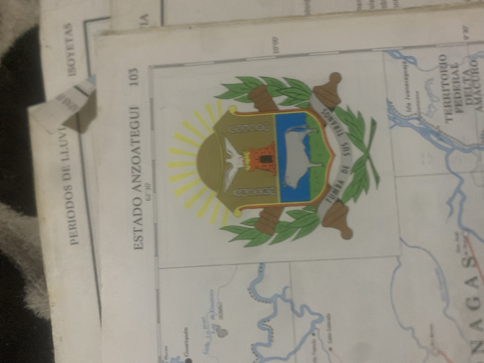
This media file appears to be a photograph of a section of a map, likely of Venezuela, with a focus on the state of Anzoátegui and the Delta Amacuro territory. The map is overlaid with a crest or coat of arms.

The crest features a depiction of a landscape with a mountain, a river, and a large animal that resembles a manatee. It is surrounded by branches of leaves and a golden sunburst. Text above and below the crest reads "TUMBA DE SUS TIRANOS" (Tomb of their Tyrants).

Visible text on the map itself includes geographical names and data. To the left, oriented vertically, are the words "PERIODOS DE LLUVI" (Rainy Periods) and "ISOYETAS" (Isohyets), suggesting a climatic or meteorological map overlay. The state of "ESTADO ANZOATEGUI" is clearly labeled with a coordinate of "62°30'". Further to the right, "TERRITORIO FEDERAL DELTA AMACURO" is visible, with coordinates "10°00'" and "9°30'". The text "Isla Juanataguaje" is also present.

The overall impression is that of a historical or geographical document, possibly from an atlas or a wall map. The lighting suggests it was photographed indoors. There are no people or animals present other than those depicted in the crest. The scene is static, representing a geographical area and its administrative divisions. The tilt of the photograph and some light glare suggest it was taken from an angle.
bombolico

Jun 25, 2026, 2:35 PM

La Tagua, Venezuela

Moment

Stake attention in this memory

Nostalgic
Historical
Curious
Intrigued
Scholarly

This media file appears to be a photograph of a section of a map, likely of Venezuela, with a focus on the state of Anzoátegui and the Delta Amacuro territory. The map is overlaid with a crest or coat of arms. The crest features a depiction of a landscape with a mountain, a river, and a large animal that resembles a manatee. It is surrounded by branches of leaves and a golden sunburst. Text above and below the crest reads "TUMBA DE SUS TIRANOS" (Tomb of their Tyrants). Visible text on the map itself includes geographical names and data. To the left, oriented vertically, are the words "PERIODOS DE LLUVI" (Rainy Periods) and "ISOYETAS" (Isohyets), suggesting a climatic or meteorological map overlay. The state of "ESTADO ANZOATEGUI" is clearly labeled with a coordinate of "62°30'". Further to the right, "TERRITORIO FEDERAL DELTA AMACURO" is visible, with coordinates "10°00'" and "9°30'". The text "Isla Juanataguaje" is also present. The overall impression is that of a historical or geographical document, possibly from an atlas or a wall map. The lighting suggests it was photographed indoors. There are no people or animals present other than those depicted in the crest. The scene is static, representing a geographical area and its administrative divisions. The tilt of the photograph and some light glare suggest it was taken from an angle.

Symbol

75A47

Volume

0

Creator

+$0.09

Revenue

+$0.00

TVL

$0.00

1D
1W
1M
All

Loading AttnAds…

transactions
revenues
stakers
Earliest
Latest
Highest stake

1

Ramón

Staked 9d ago
Redeemed 7d ago

$7.22 USD

+$0.02 USD

Fee: $0.04 (0.5%)

+0.3%

2

Rev Bot 🤖💰

Injected revenue 9d ago

Revenue bonus for the last stake.

+$0.14 USD

More from this user

More from La Tagua

bombolico

Jun 25, 2026, 2:35 PM

La Tagua, Venezuela

Licensed under Creative Commons Attribution 4.0 International License. You are free to share and adapt this content with proper attribution.





