Sign in
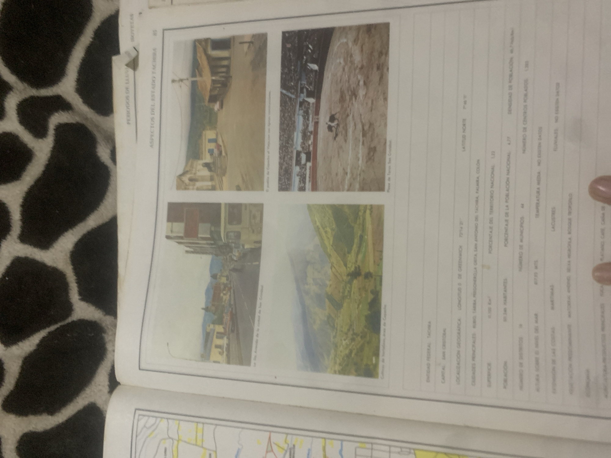
This media file is a page from a book or document, featuring a collection of four photographs and a table of information. The photographs depict various scenes. The top left shows a street scene with buildings and a shaded structure. The top right captures a bullfighting arena filled with spectators, with a bullfighter in action. The bottom left presents another street view with buildings, including what appears to be a church with a bell tower, and a road. The bottom right offers a landscape view of a valley with agricultural fields and a winding river or road.

The table of text provides data related to an "ENTIDAD FEDERAL TACHRA," with entries for its capital, San Cristóbal, geographical location (longitude and latitude), surface area, population, percentage of national territory, number of municipalities, average temperature, and information about coastlines, lakes, and rivers.

Visible text includes titles like "ASPECTOS DEL ESTADO TACHIRA," "PERIODOS DE LLUV," and "ISOVETAS." Other text elements from the table are also legible, such as "ENTIDAD FEDERAL TACHRA," "CAPITAL SAN CRISTOBAL," "LOCALIZACIÓN GEOGRAFICA," "SUPERFICE," "POBLACION," "NUMERO DE MUNICIPIOS," and "TEMPERATURA MEDIA." The photographs themselves also have captions, though they are less clear. The context suggests this page is an excerpt from a geographical or historical resource focusing on the Táchira state in Venezuela.
bombolico

Jun 25, 2026, 2:31 PM

La Tagua, Venezuela

Stake attention in this memory

nostalgic
academic
reflective
observational
historic

This media file is a page from a book or document, featuring a collection of four photographs and a table of information. The photographs depict various scenes. The top left shows a street scene with buildings and a shaded structure. The top right captures a bullfighting arena filled with spectators, with a bullfighter in action. The bottom left presents another street view with buildings, including what appears to be a church with a bell tower, and a road. The bottom right offers a landscape view of a valley with agricultural fields and a winding river or road. The table of text provides data related to an "ENTIDAD FEDERAL TACHRA," with entries for its capital, San Cristóbal, geographical location (longitude and latitude), surface area, population, percentage of national territory, number of municipalities, average temperature, and information about coastlines, lakes, and rivers. Visible text includes titles like "ASPECTOS DEL ESTADO TACHIRA," "PERIODOS DE LLUV," and "ISOVETAS." Other text elements from the table are also legible, such as "ENTIDAD FEDERAL TACHRA," "CAPITAL SAN CRISTOBAL," "LOCALIZACIÓN GEOGRAFICA," "SUPERFICE," "POBLACION," "NUMERO DE MUNICIPIOS," and "TEMPERATURA MEDIA." The photographs themselves also have captions, though they are less clear. The context suggests this page is an excerpt from a geographical or historical resource focusing on the Táchira state in Venezuela.

Loading AttnAds…

transactions
revenues
stakers
Earliest
Latest
Highest stake

No transactions found

More from this user

More from La Tagua

bombolico

Jun 25, 2026, 2:31 PM

La Tagua, Venezuela

Licensed under Creative Commons Attribution 4.0 International License. You are free to share and adapt this content with proper attribution.



