Stake attention in this memory
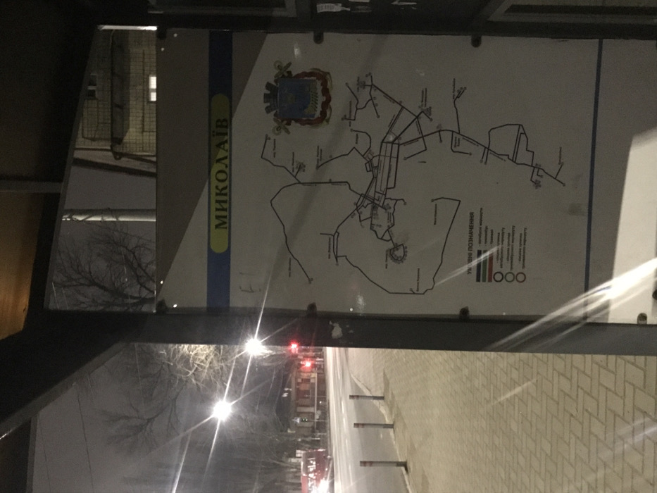
This night-time image, rotated 90 degrees clockwise, depicts a public transport map of Mykolaiv, Ukraine, prominently displayed within what appears to be a bus stop or shelter. The scene is illuminated by bright streetlights, casting significant flares and reflections across the image, especially on the map's protective covering. The map itself is predominantly white with black lines indicating routes or roads across the city. A distinctive vertical blue strip on the left side of the map features the city's name in Ukrainian, "МИКОЛАЇВ" (Mykolaiv), in yellow text. Above this, the coat of arms for Mykolaiv is clearly visible. To the right of the map, below some of the route lines, the text "УМОВНІ ПОЗНАЧЕННЯ" (Conditional Symbols / Legend) is present, alongside a series of colored bars (red, green, blue, white, black, brown, grey) and three interlocking rings, possibly stylized Olympic rings or similar identifying emblems. The surrounding environment reveals an urban setting at night. A patterned brick sidewalk is visible in the foreground and along the right side of the image. Beyond the sidewalk, bright streetlights with prominent light flares illuminate the road. Bare trees, indicative of late autumn or winter, stand against the dark sky in the background. Faint red lights, likely from vehicle taillights, can be seen in the distance, and parts of a building with illuminated windows are visible. No people or specific activities are discernible in the frame, emphasizing the static display of the map within the nocturnal city landscape.
No transactions found