Stake attention in this memory
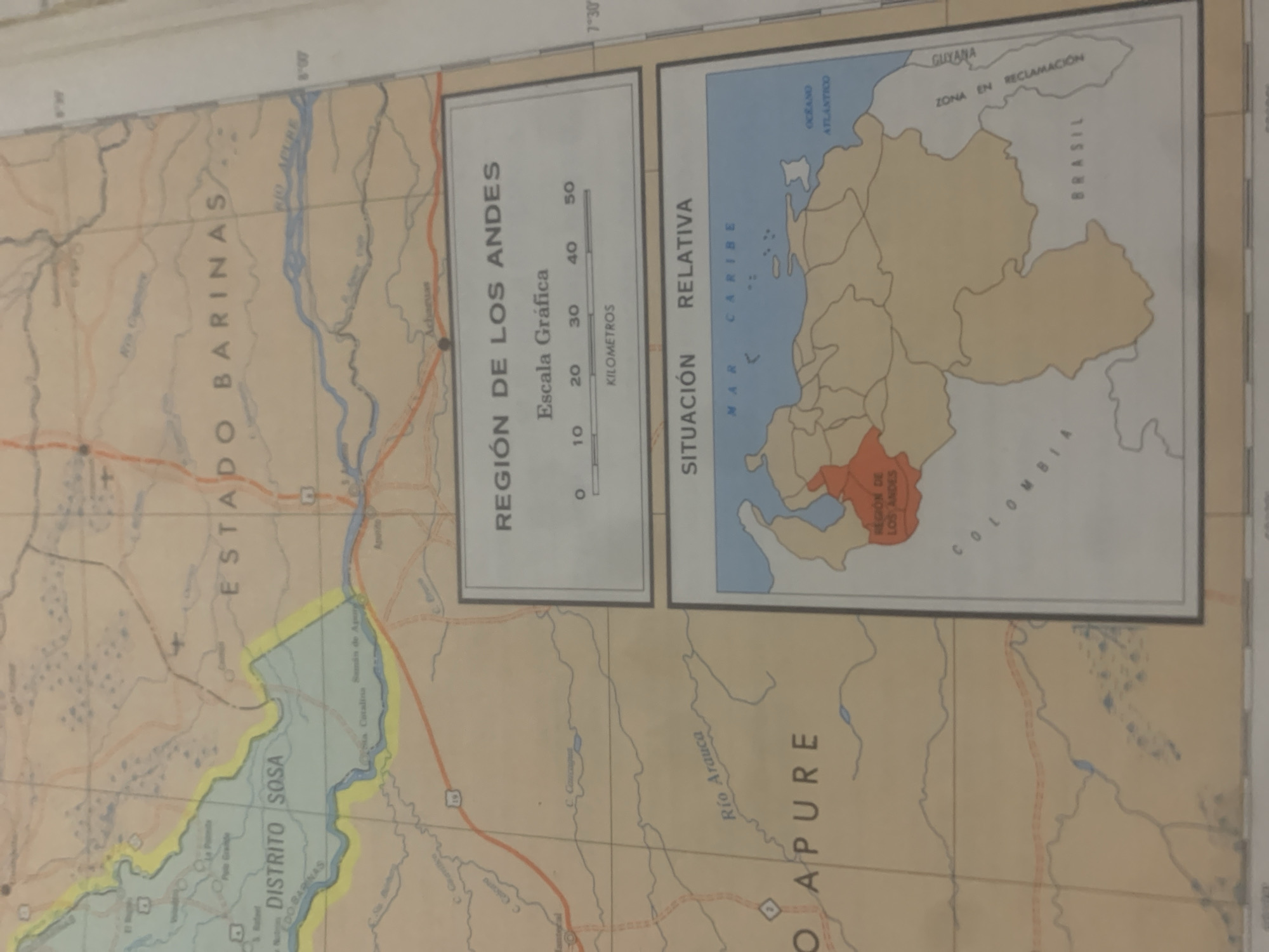
This media file is a photograph of a map, likely a section of a larger atlas or a standalone map. The map depicts geographical regions, borders, rivers, and settlements. The primary subject matter is cartographic. There are no people or animals visible. The map itself is the main object. The scene is a close-up view of a section of this map, with text labels and graphical representations of terrain. The map appears to be showing a region in South America, specifically highlighting "ESTADO BARINAS" and "DISTRITO SOSA" on the left side, with a large river labeled "Río Arauca" and "O APURE" on the right. There's also a smaller inset map showing the "REGIÓN DE LOS ANDES" and its "SITUACIÓN RELATIVA" within a larger context that includes "GUYANA" and "BRASIL". The inset map also labels "MAR CARIBE" and "OCEANO ATLANTICO". Text in Spanish is prominent, including place names, geographical features, and descriptive titles such as "REGIÓN DE LOS ANDES" and "ZONA EN RECLAMACIÓN". A graphical scale in kilometers is also visible. There is no activity or event taking place other than the presentation of geographical information. The time of day and weather are not relevant to the content of the map itself. The location cues are the place names and country labels visible on the map. No emotions are conveyed.
Symbol
793A2
Volume
11,550
Creator
+$0.03
Revenue
+$0.03
TVL
$2.39
Loading AttnAds…

2

Rev Bot 🤖💰
Injected revenue 2mo ago
“Revenue bonus for the last stake.”
+$0.04 USD





