
Stake attention in this memory
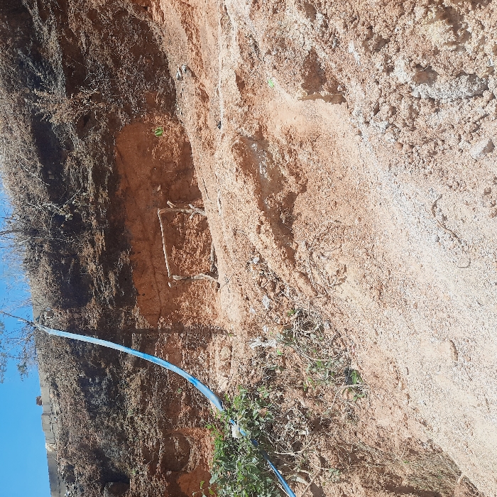
The image shows a dirt embankment. The embankment has eroded significantly, exposing the underlying soil layers. The embankment is located in Reifild-Ist, Nigeria, with coordinates of latitude 9.83 and longitude 8.917. A light blue pipe snakes diagonally across the lower half of the image, running from the top right corner to the bottom left corner. The pipe is visible where it crosses the dirt slope, as well as where it traverses a small amount of vegetation near the bottom left corner. The dirt slope is primarily composed of brown and tan earth, with sparse vegetation interspersed throughout. The vegetation is brown and dry, with no green leaves visible. The top left corner of the image shows a dark brown area, possibly vegetation or rocks, partially obscured from view by the top border of the image. The bottom left corner of the image shows a section of a dark gray structure, possibly a building or a wall. The top right corner of the image is obscured by the top border of the image. The bottom right corner of the image shows a section of dirt that is mostly white, possibly due to sand or gravel. The overall scene is one of erosion and neglect, with the embankment showing signs of significant damage.
No transactions found