Stake attention in this memory
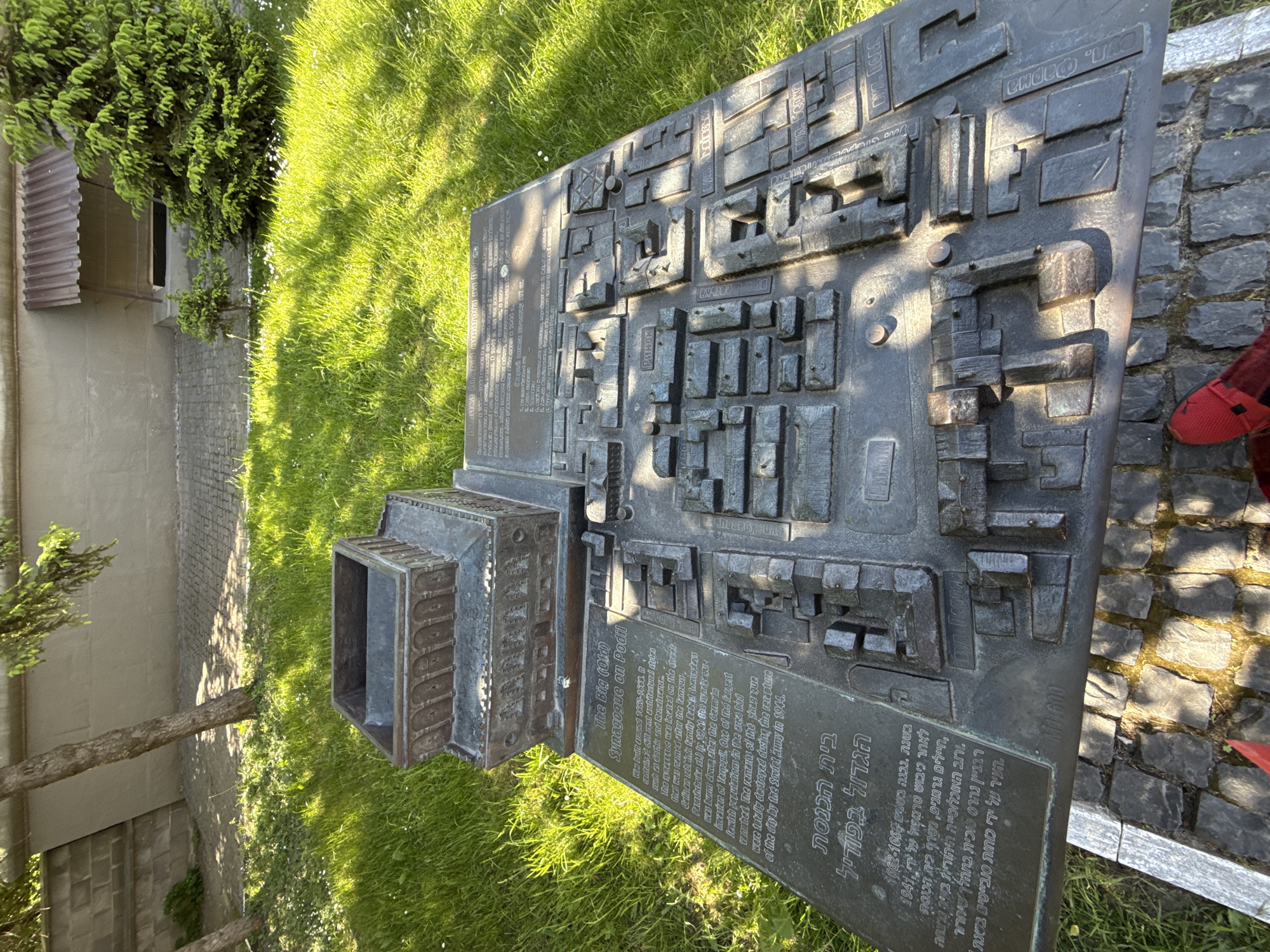
The image shows a bronze relief map of the area surrounding the Big (Old) Synagogue in Podil, Ternopil, Ukraine. The map includes names of streets in Ukrainian and Hebrew and labels the synagogue and the street (Cabals, or Navstays Parashdruka St.) on which it was located. The map sits on a stone base in a grassy area. The text describes the synagogue's history, including its construction in the 17th century and its destruction by the Germans and Soviet army in the 20th century. A person wearing red shoes is visible at the edge of the image on the right. Trees and part of a building are visible in the background.
Symbol
7A4B1
Volume
0
Creator
+$0.04
Revenue
+$0.00
TVL
$0.00
2
Rev Bot 🤖💰
Injected revenue 1mo ago
“Revenue bonus for the last stake.”
+$0.06 USD