Stake attention in this memory
curiosity
educational
geographic
informative
detailed
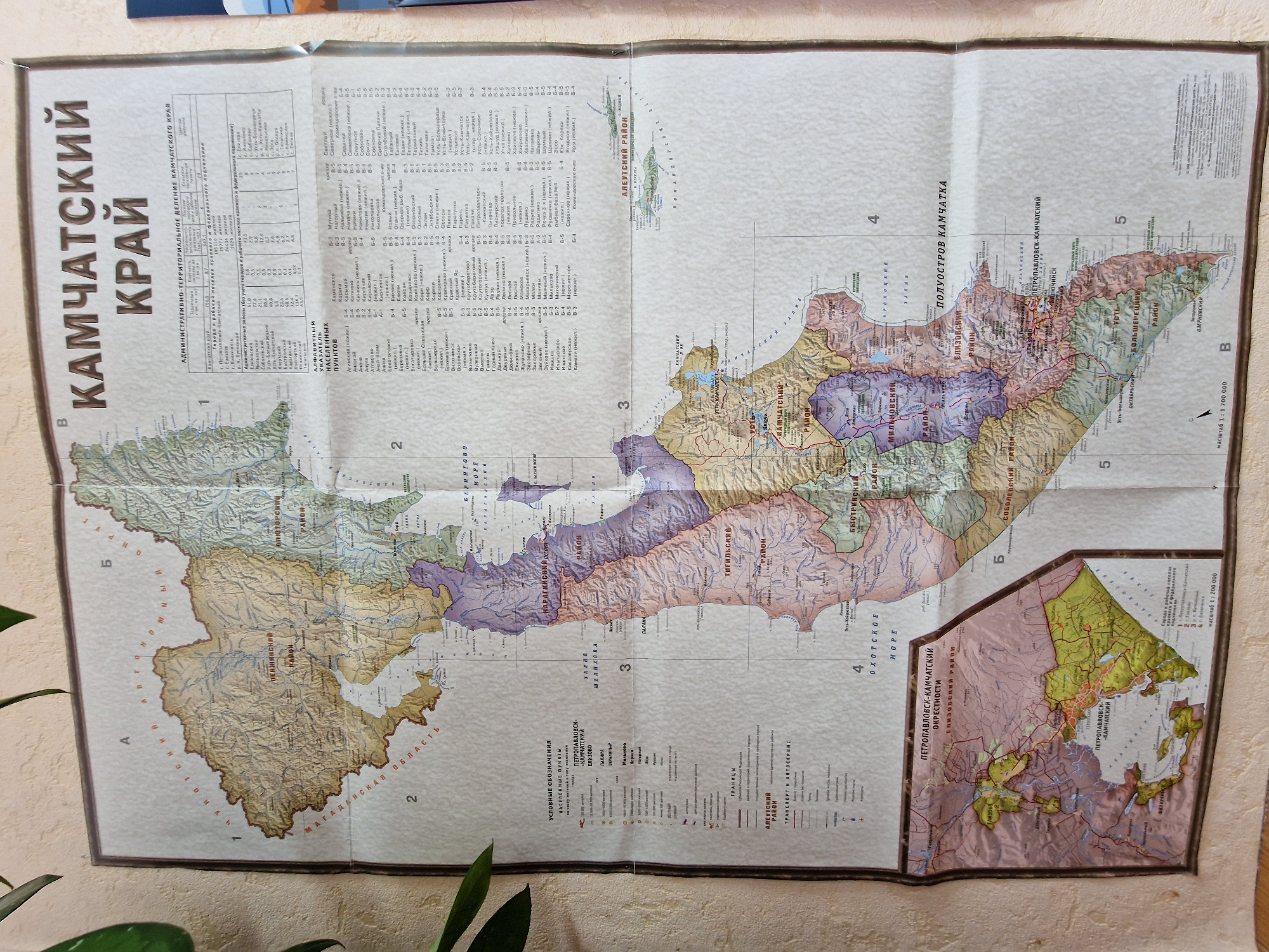
The image is a map of Kamchatka Krai, a federal subject of Russia. The map is detailed and includes administrative divisions, settlements, rivers, mountains, and roads. The map is in Russian and appears to be from a Soviet-era publication due to its style and typography. There are no people or specific city locations mentioned. The map is hanging on a wall, with some of the edges creased and slightly damaged. The overall environment is an indoor setting, likely a room with neutral-colored walls.
Symbol
7BA09
Volume
718
Creator
+$0.00
Revenue
+$0.00
TVL
$0.27
1D
1W
1M
All
transactions
revenues
stakers
Earliest
Latest
Highest stake