Stake attention in this memory
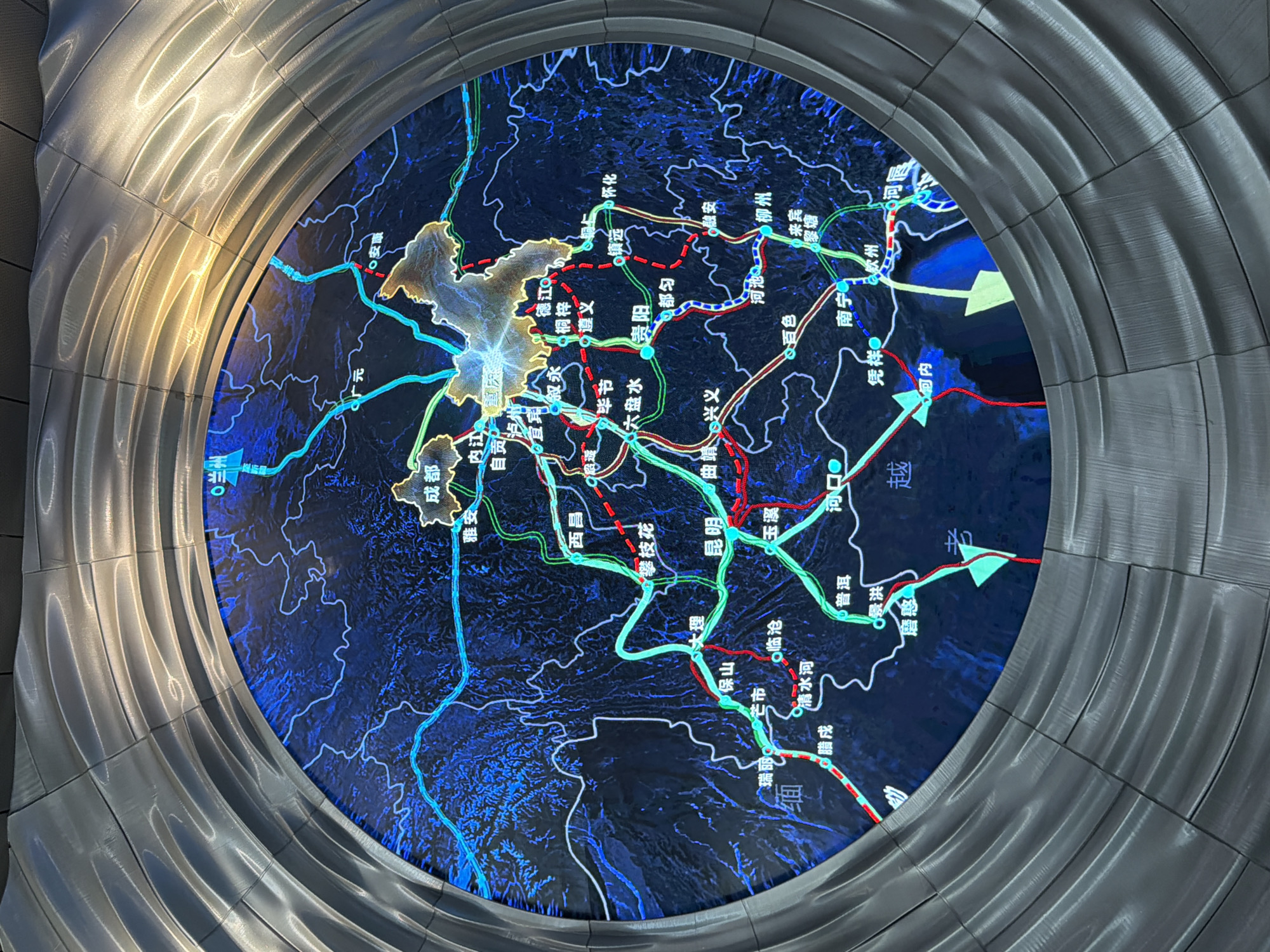
The image shows a circular digital map displayed within a metallic, circular frame. The map itself is a stylized representation of a region, featuring a dark blue background with topographical details and illuminated lines in cyan, red, and green, indicating transportation routes or other geographical data. Several city names are visible on the map in Chinese characters. The map is presented as part of an exhibition or display, given the elaborate framing. The metallic frame has a textured, layered appearance, with light reflecting off its curved surfaces, suggesting it's made of brushed or polished metal. The overall impression is one of modern technology integrated into a public space. Specific locations identified on the map include: * **成都 (Chengdu)** * **重庆 (Chongqing)** * **昆明 (Kunming)** * **贵阳 (Guiyang)** * **南宁 (Nanning)** The question asks for details regarding "the city of Nan'an District, China." However, "Nan'an District" is a district within Chongqing, and "Nan'an" (南岸) is also a city in Fujian province. The map appears to depict a region that includes Southwest China, encompassing provinces like Sichuan, Yunnan, Guizhou, and Guangxi, as well as parts of Chongqing. While the map shows many cities and provinces, there is no explicit label "Nan'an District" clearly visible or pointed out in the image. There are labels like "南宁" (Nanning) and possibly other smaller settlements or points of interest. Without further information or clearer visibility of the entire map, it is not possible to definitively locate or describe anything specific to "Nan'an District" within the context of this image. The image focuses on a broad geographical area and its connectivity, not a specific administrative district.
Symbol
7BDCE
Volume
0
Creator
+$0.03
Revenue
+$0.00
TVL
$0.00
Loading AttnAds…

2

Rev Bot 🤖💰
Injected revenue 3mo ago
“Revenue bonus for the last stake.”
+$0.04 USD