Stake attention in this memory
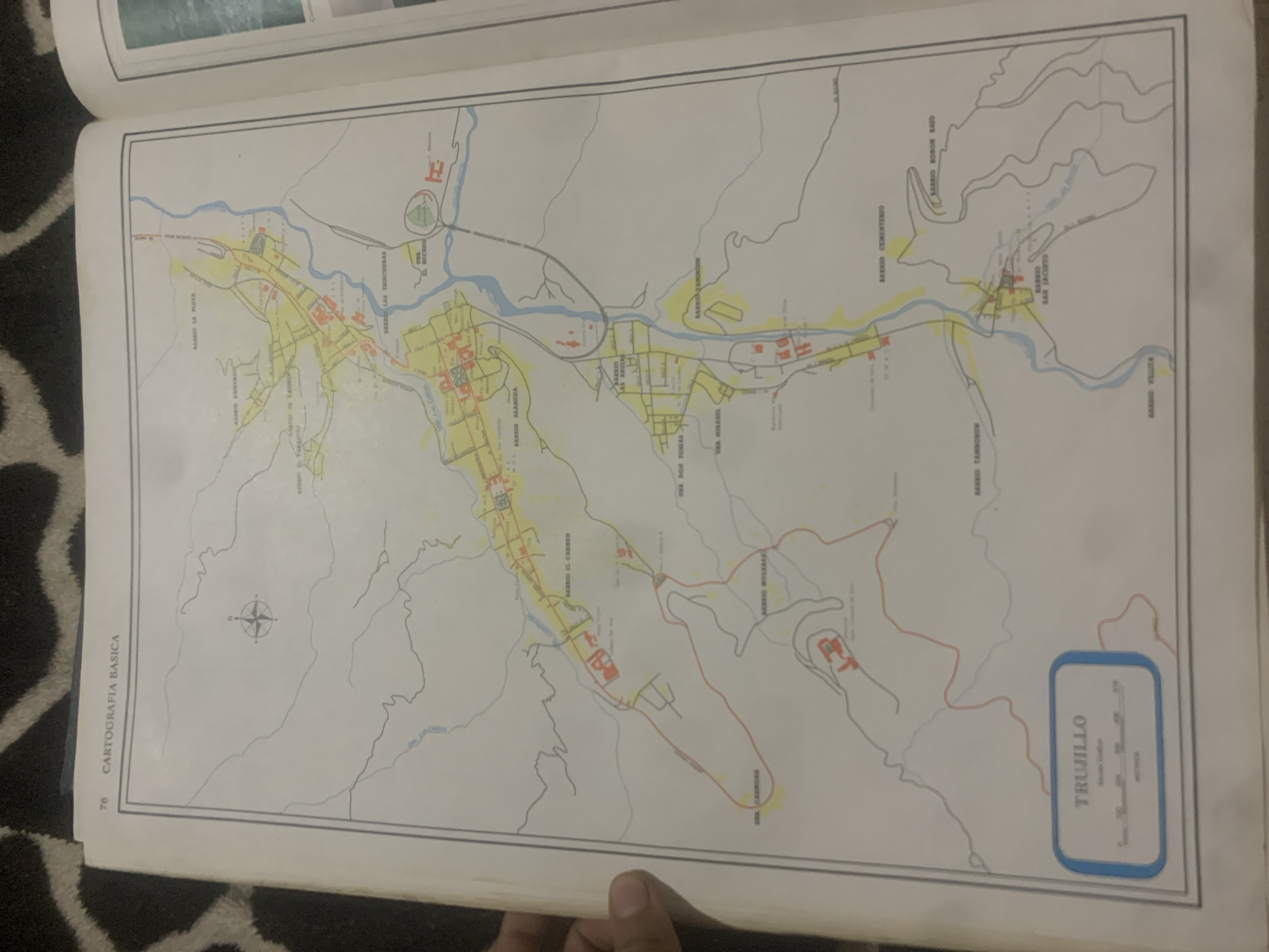
This media file is a photograph of an open book displaying a map. The map is of Trujillo, Venezuela, and shows various barrios or neighborhoods, roads, and a river. The map is colored with yellow for developed areas, blue for water, and red for main roads. There are also some smaller structures indicated by red outlines. A compass rose is visible on the left side of the map. The book is placed on a patterned surface, possibly a rug or blanket. The lighting suggests it is daytime. The text on the map includes names of barrios such as "BARRIO EL CARMEN," "BARRIO LA PLAYA," "BARRIO CEMENTERIO," "BARRIO SAN JACINTO," and "BARRIO BORON BAJO." Other labels include "URS. MIRASIL," "URS DON TORIAS," and "CARTOGRAFIA BASICA." A scale bar is also visible within a blue-outlined box labeled "TRUJILLO." The overall impression is of a geographical document being presented in a casual setting.
Loading AttnAds…
No transactions found





