Stake attention in this memory
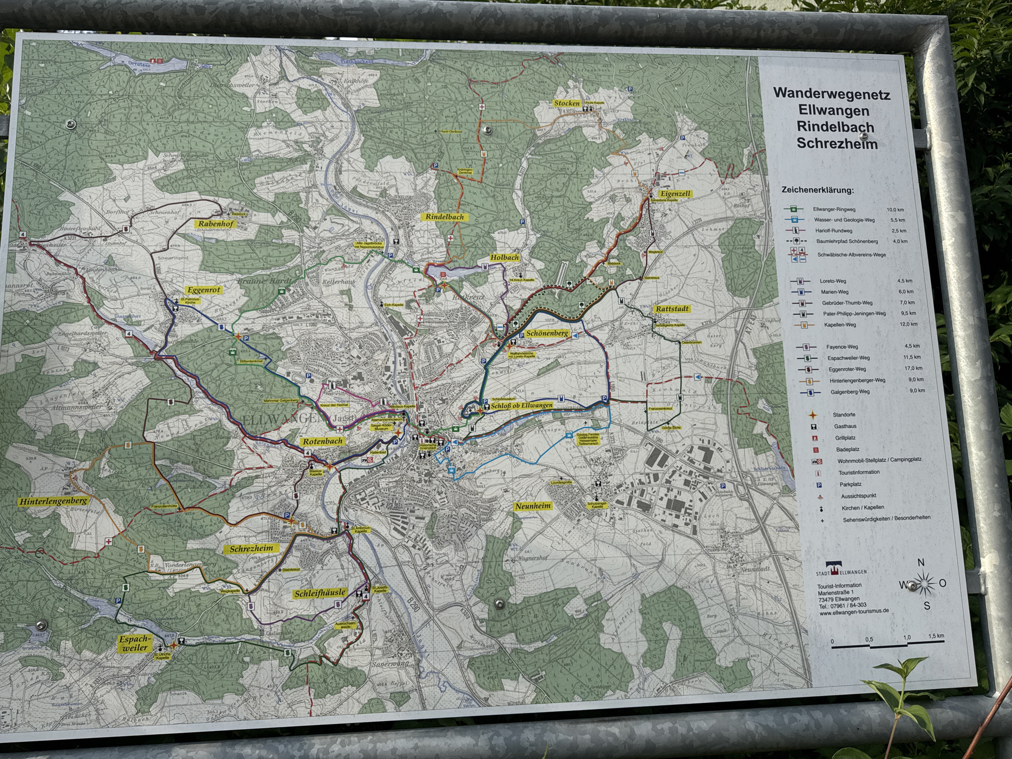
The image displays a large, outdoor information board with a detailed map of the hiking trail network in the area of Ellwangen, Germany, specifically showing the Rindelbach and Schrezheim regions. The map is oriented with north to the top right of the image. The board is mounted on a metal frame, suggesting it's located outdoors, likely at a trailhead or information point. The map itself is colorful, with different colored lines representing various hiking paths. A legend on the right side of the board explains the different symbols and route names, such as "Ellwanger-Ringweg" (10.0 km), "Wasser- und Geologie-Weg" (5.5 km), and "Fayence-Weg" (4.5 km). It also includes symbols for amenities like rest stops, gasthouses, campgrounds, parking lots, and churches. Below the map, there is contact information for the Tourist-Information in Ellwangen, including an address and phone number. The environment around the board appears to be natural, with trees and foliage visible in the background and foreground, suggesting a park or a wooded area. No people are visible in the image.
No transactions found