Stake attention in this memory
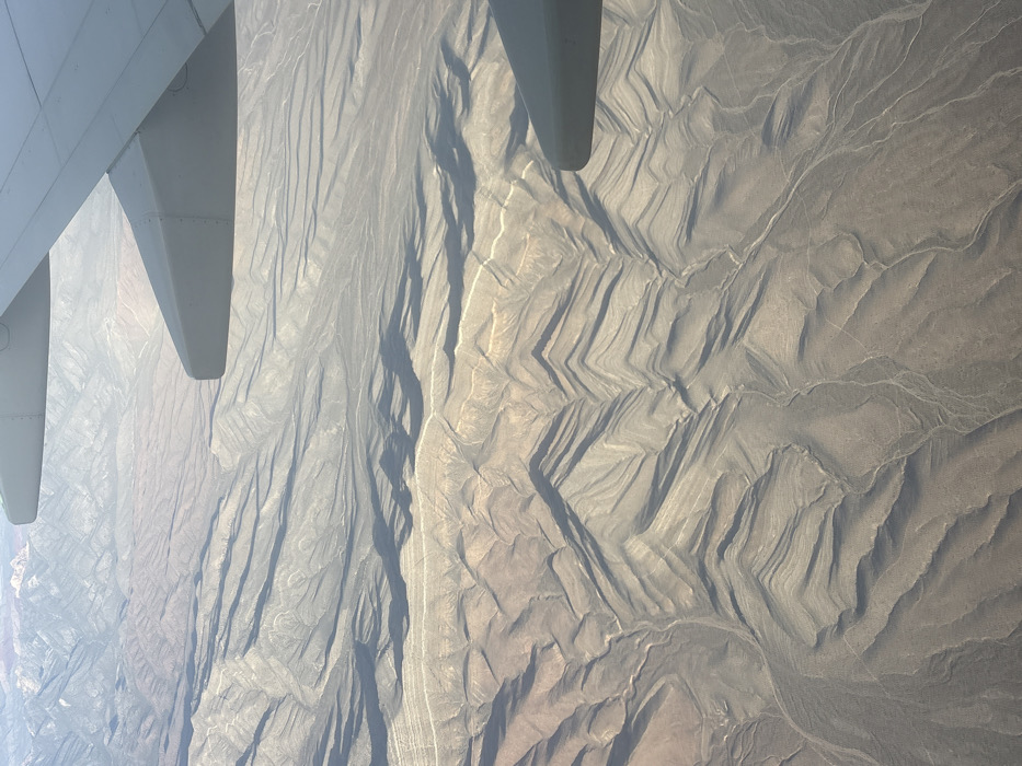
An aerial photograph depicts an expansive arid and mountainous landscape, observed from an aircraft. Portions of a light grey aircraft wing are visible in the upper left and right sections of the frame. The terrestrial environment below features numerous parallel geological ridges and valleys, creating a distinctive corrugated pattern across the terrain. Long shadows are cast by these formations, suggesting a low sun angle. The ground is characterized by shades of tan, light brown, and grey rock and soil, with minimal visible vegetation. Faint, winding light-colored lines indicate dry riverbeds or washes traversing the valleys. Hazy mountain ranges are present in the far distance. This landscape is consistent with the arid, mountainous desert regions surrounding Pahrump, Nevada, United States.
Symbol
7DBF5
Volume
9,503
Creator
+$0.07
Revenue
+$0.00
TVL
$7.13