Stake attention in this memory
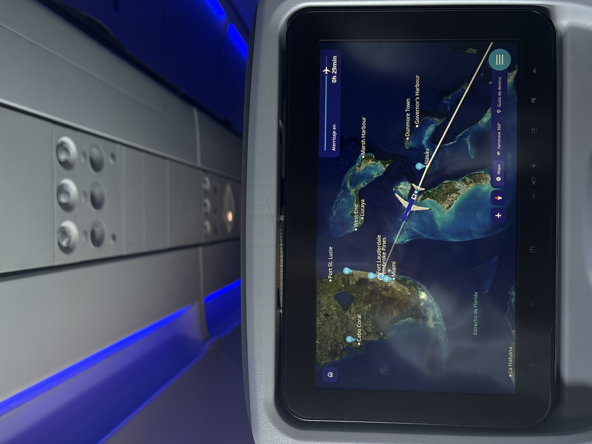
An aerial view of the Bahamas is displayed on an in-flight entertainment system. The screen shows a map with several locations labeled, including Port St. Lucie, Cabo Coral, Fort Lauderdale, Pembroke Pines, Miami, West End, Lucaya, Marsh Harbour, Dunmore Town, Governor's Harbour, Nassau, and La Habana. A flight path is illustrated on the map, indicating an airplane currently over the water between Florida and the Bahamas. The estimated landing time is "0h 29min". The screen also shows navigation controls at the bottom, including icons for flight information, map, 360° flight view, and destination guides. Above the screen, the overhead cabin interior of an airplane is visible, with blue ambient lighting and air vents.
No transactions found