Sign in
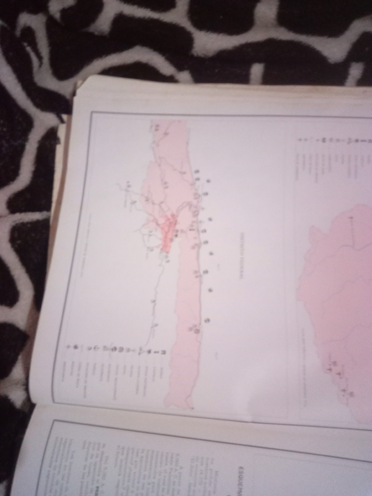
The image is a close-up, slightly angled shot of an open book, displaying a map and text. The map is a detailed representation of a region, with various colored areas and lines indicating geographical features and possibly political boundaries. There are numerous small dots and numbered markers on the map, likely representing locations or points of interest. Text, some of which is in Spanish, is present in the lower portion of the image, appearing to be descriptive captions or an index related to the map. The book is resting on a surface with a black and white patterned texture, possibly a blanket or upholstery. The lighting in the image is uneven, with some areas brighter than others, and the overall resolution is moderate, making some fine details difficult to discern. The map appears to be of a coastal region, with landmasses and bodies of water represented. The text on the right side of the map includes the words "DIRECCIÓN GENERAL", suggesting it might be related to a government or official body. The question asks about the location in the city of La Tagua, Venezuela, however, La Tagua is a town, not a city, and it is located in the state of Aragua, Venezuela. Without further context or clearer text on the map, it is impossible to specifically identify or pinpoint La Tagua within this image.
Alberto Rodríguez

Jun 10, 2026, 7:00 AM

La Tagua, Venezuela

Short Term

Stake attention in this memory

Curiosity
Intellectual
Nostalgia
Focused
Contemplative

The image is a close-up, slightly angled shot of an open book, displaying a map and text. The map is a detailed representation of a region, with various colored areas and lines indicating geographical features and possibly political boundaries. There are numerous small dots and numbered markers on the map, likely representing locations or points of interest. Text, some of which is in Spanish, is present in the lower portion of the image, appearing to be descriptive captions or an index related to the map. The book is resting on a surface with a black and white patterned texture, possibly a blanket or upholstery. The lighting in the image is uneven, with some areas brighter than others, and the overall resolution is moderate, making some fine details difficult to discern. The map appears to be of a coastal region, with landmasses and bodies of water represented. The text on the right side of the map includes the words "DIRECCIÓN GENERAL", suggesting it might be related to a government or official body. The question asks about the location in the city of La Tagua, Venezuela, however, La Tagua is a town, not a city, and it is located in the state of Aragua, Venezuela. Without further context or clearer text on the map, it is impossible to specifically identify or pinpoint La Tagua within this image.

Symbol

7EA59

Volume

11,550

Creator

+$0.04

Revenue

+$0.07

TVL

$2.90

1D
1W
1M
All

Loading AttnAds…

transactions
revenues
stakers
Earliest
Latest
Highest stake

1

karlyta

Staked 1mo ago

$2.86 USD

+$0.04 USD

+1%

2

Rev Bot 🤖💰

Injected revenue 1mo ago

Revenue bonus for the last stake.

+$0.07 USD

More from this user

More from La Tagua

Alberto Rodríguez

Jun 10, 2026, 7:00 AM

La Tagua, Venezuela

Licensed under Creative Commons Attribution 4.0 International License. You are free to share and adapt this content with proper attribution.