Stake attention in this memory
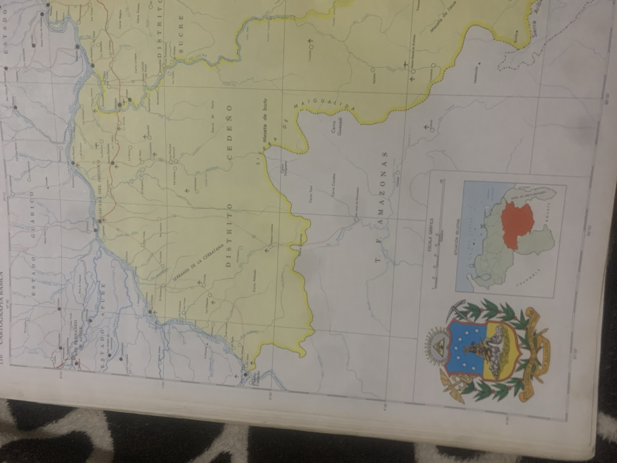
This is a photograph of a map. The map appears to be a topographical or geographical map of a region in Venezuela, with a focus on the Amazonas and Apure states. The map displays rivers, mountains, cities, and state borders. There is text in Spanish labeling various locations such as "ESTADO APURE", "ESTADO AMAZONAS", "CAICARA DEL ORINOCO", and "SAN FERNANDO DE APURE". There is also a crest or coat of arms visible on the bottom right of the map, along with a small inset map showing the relative location of the depicted region within Venezuela. The map is laid out on a surface that appears to be a table or desk, with part of the map on a dark, textured surface, possibly a rug or blanket, in the foreground. The lighting suggests an indoor setting. The overall impression is of a cartographic document, likely used for reference or study of Venezuelan geography.
Symbol
7F6E6
Volume
0
Creator
+$0.03
Revenue
+$0.00
TVL
$0.00
Loading AttnAds…

2

Rev Bot 🤖💰
Injected revenue 2mo ago
“Revenue bonus for the last stake.”
+$0.05 USD





