Stake attention in this memory
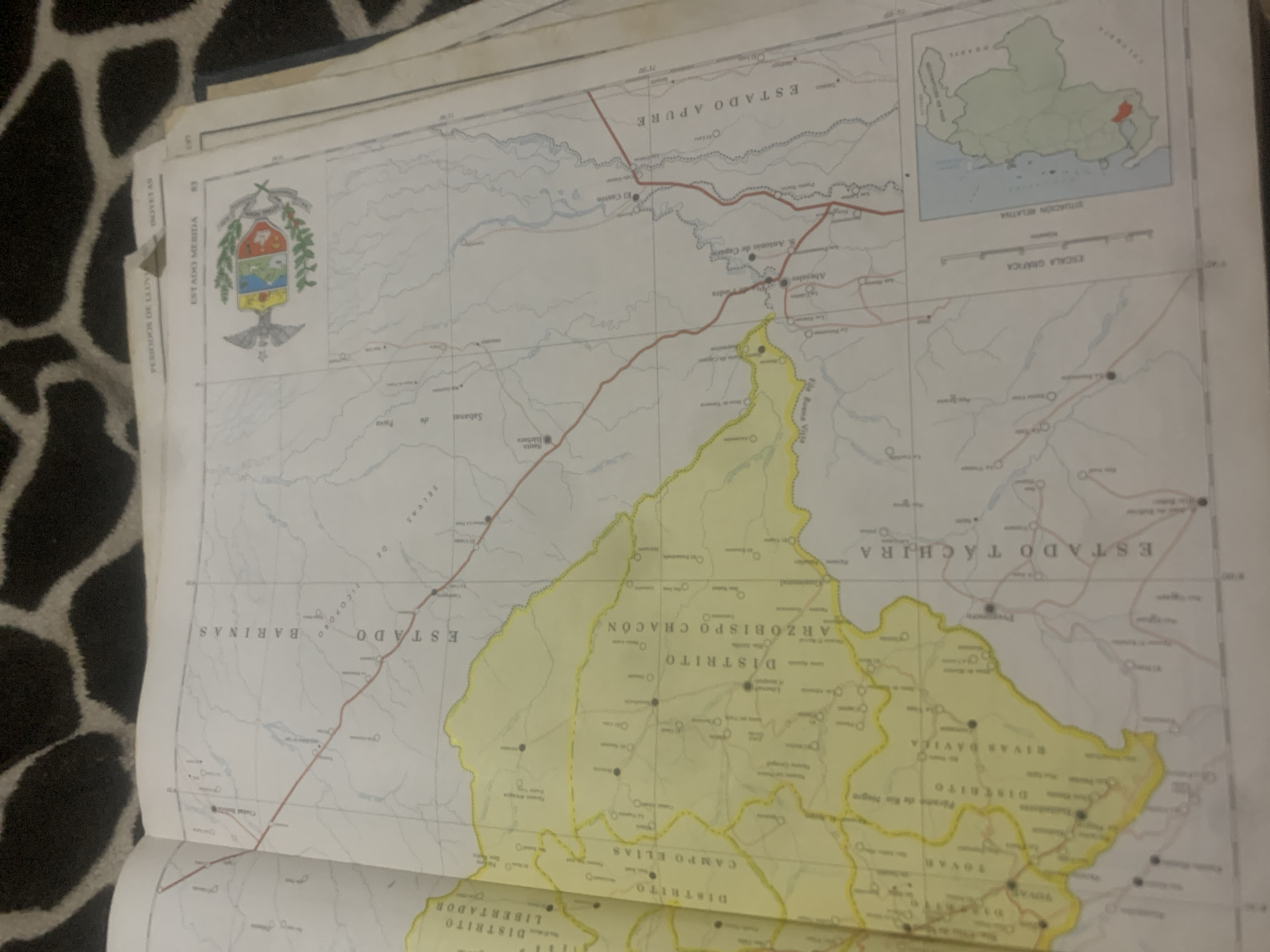
This is a medium shot of a map of Venezuela, specifically focusing on the states of Apure, Barinas, Mérida, and Táchira. The map is laid open on a surface that appears to be covered in a dark, spotted material, possibly a blanket or rug. The map itself shows various geographical features like rivers and roads, as well as political divisions like states and districts, indicated by different colors and borders. Several towns and cities are marked with circles and their names are printed on the map. Visible text on the map includes names of states such as "ESTADO APURE", "ESTADO BARINAS", "ESTADO TACHIRA", and "ESTADO MERIDA". Districts are labeled as "DISTRITO ARZOBISPO CHACON", "DISTRITO CAMPO ELIAS", and "DISTRITO LIBERTADOR". There are also scale indicators and a small inset map showing the "SITUACION RELATIVA" of the region. The map includes a coat of arms for "ESTADO MERIDA". The lighting suggests an indoor setting, possibly with natural light, as there are no strong artificial shadows. The image appears to be a photograph taken from a slightly overhead angle, capturing the open pages of the map. There are no people or animals visible in the frame. The overall impression is that of someone studying or presenting geographical information.
Loading AttnAds…
No transactions found





