Stake attention in this memory
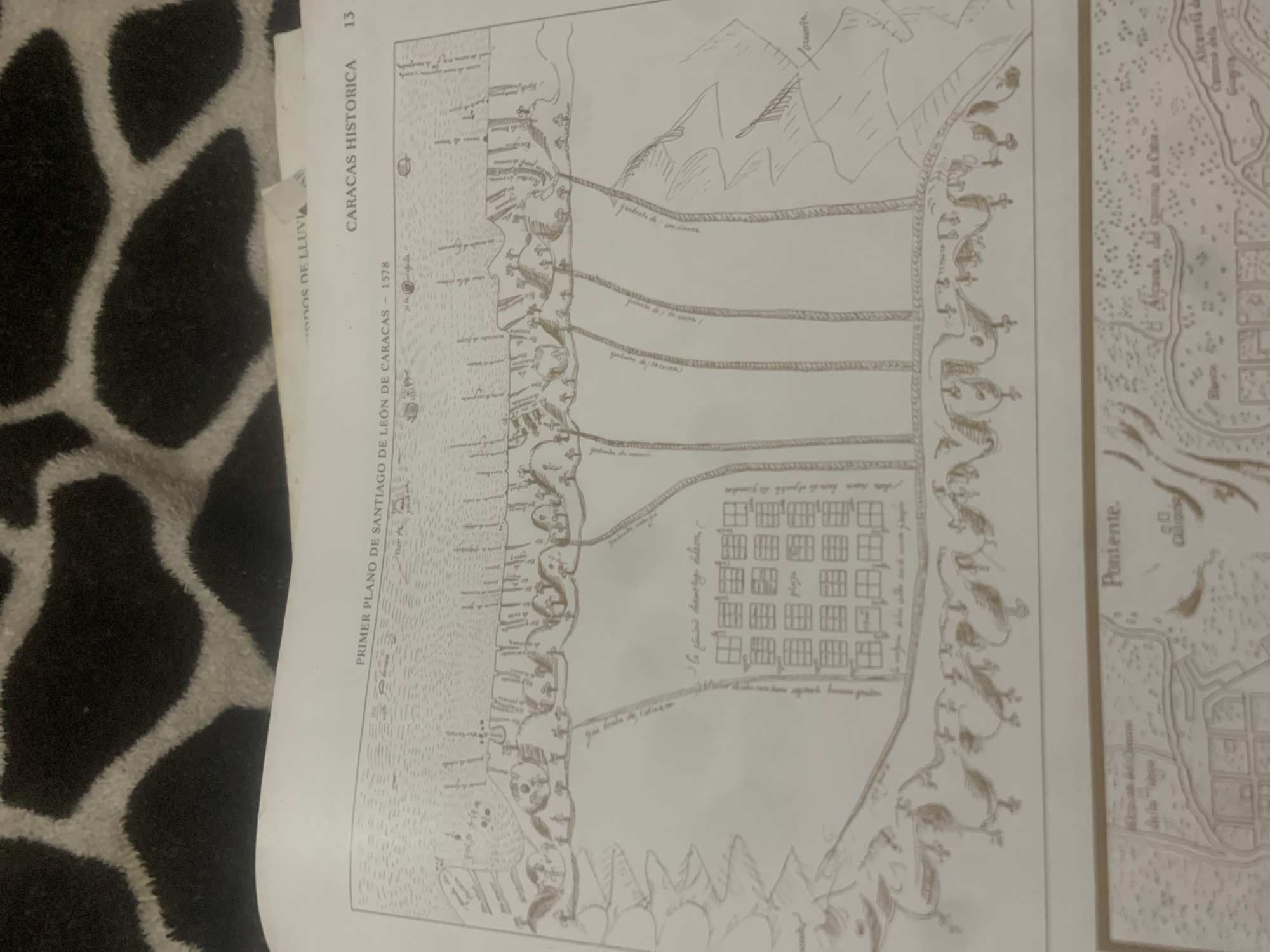
This is a photograph of a historical map, likely from a book or archive, depicting a landscape with a coastal area and mountains. The map is rendered in a sepia tone, suggesting it is an old document. The scene shows a coastline with a body of water on the left. Along the coast, there are representations of buildings and fortifications. Several parallel lines, possibly indicating roads or channels, extend inland from the coast towards a mountainous region depicted in the upper right of the map. The mountainous area is drawn with simplified, angular lines. In the foreground of the map, a grid of square shapes suggests a settlement or city layout. Decorative elements, resembling stylized foliage or crests, border the coastal fortifications. Visible text on the map and accompanying page includes: "DOS DE LLUVIA", "PRIMER PLANO DE SANTIAGO DE LEÓN DE CARACAS - 1578", "CARACAS HISTORICA", and "13". Another label on the right side of the map reads "Poniente.". The context of "La Tagua, Venezuela" is provided, indicating the geographical area this historical map is related to. The overall impression is a historical cartographical representation of a coastal settlement and its surroundings, likely a plan of Santiago de León de Caracas from 1578. The drawing style is detailed but schematic, characteristic of historical maps. The image appears to be taken in natural light, with the map laid flat. The background of the photograph is a textured, dark surface with an abstract pattern.
Symbol
7FCC0
Volume
11,550
Creator
+$0.14
Revenue
+$0.25
TVL
$11.67
2
Rev Bot 🤖💰
Injected revenue 6d ago
“Revenue bonus for the last stake.”
+$0.28 USD


