
Stake attention in this memory
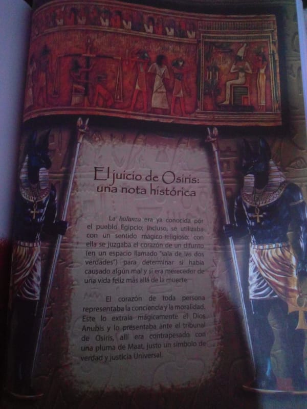
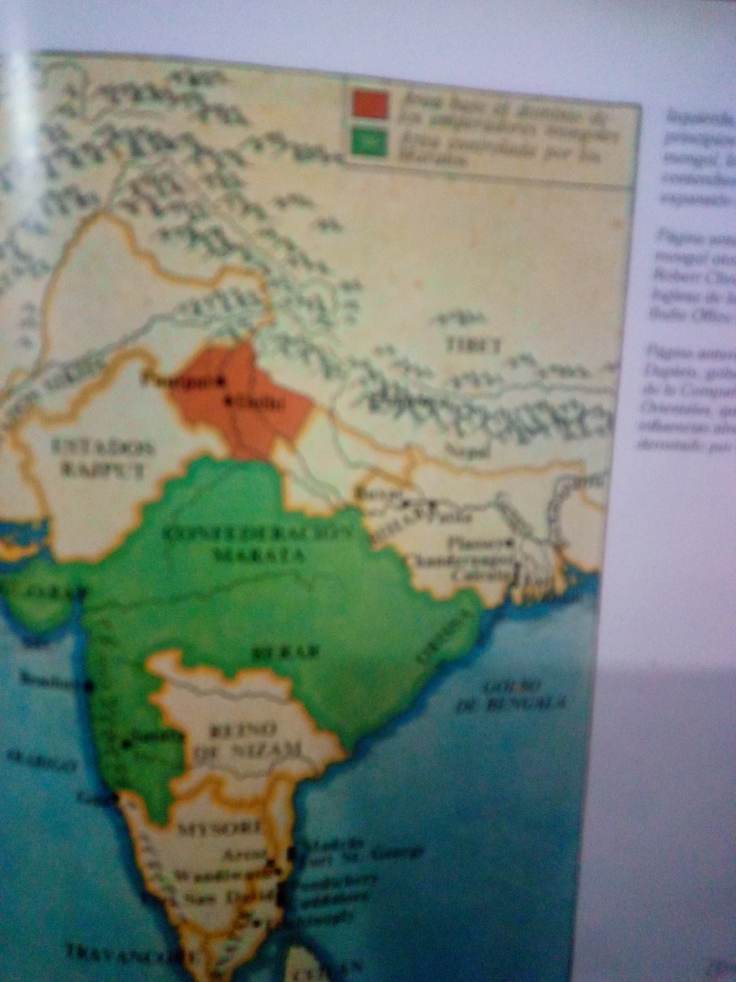
This is a close-up, angled photograph of a map that appears to be from a history book or educational material. The map depicts a region of India with various territories colored differently, indicating political divisions or areas of influence. Key labels visible on the map include "ESTADOS RAJPUT," "CONFEDERACION MARATA," "REINO DE NIZAM," and "TIBET." There is also text in a legend at the top, with red and green color swatches, which is partially legible. The image is not clear and appears to be taken in low light conditions, causing blurriness and loss of detail. There are no people, objects, or actions visible outside of the map itself, and it is impossible to discern any connection to La Tagua, Venezuela from the provided image.
Symbol
80D29
Volume
11,550
Creator
+$0.03
Revenue
+$0.05
TVL
$2.83
Loading AttnAds…

2

Rev Bot 🤖💰
Injected revenue 1mo ago
“Revenue bonus for the last stake.”
+$0.06 USD