Stake attention in this memory
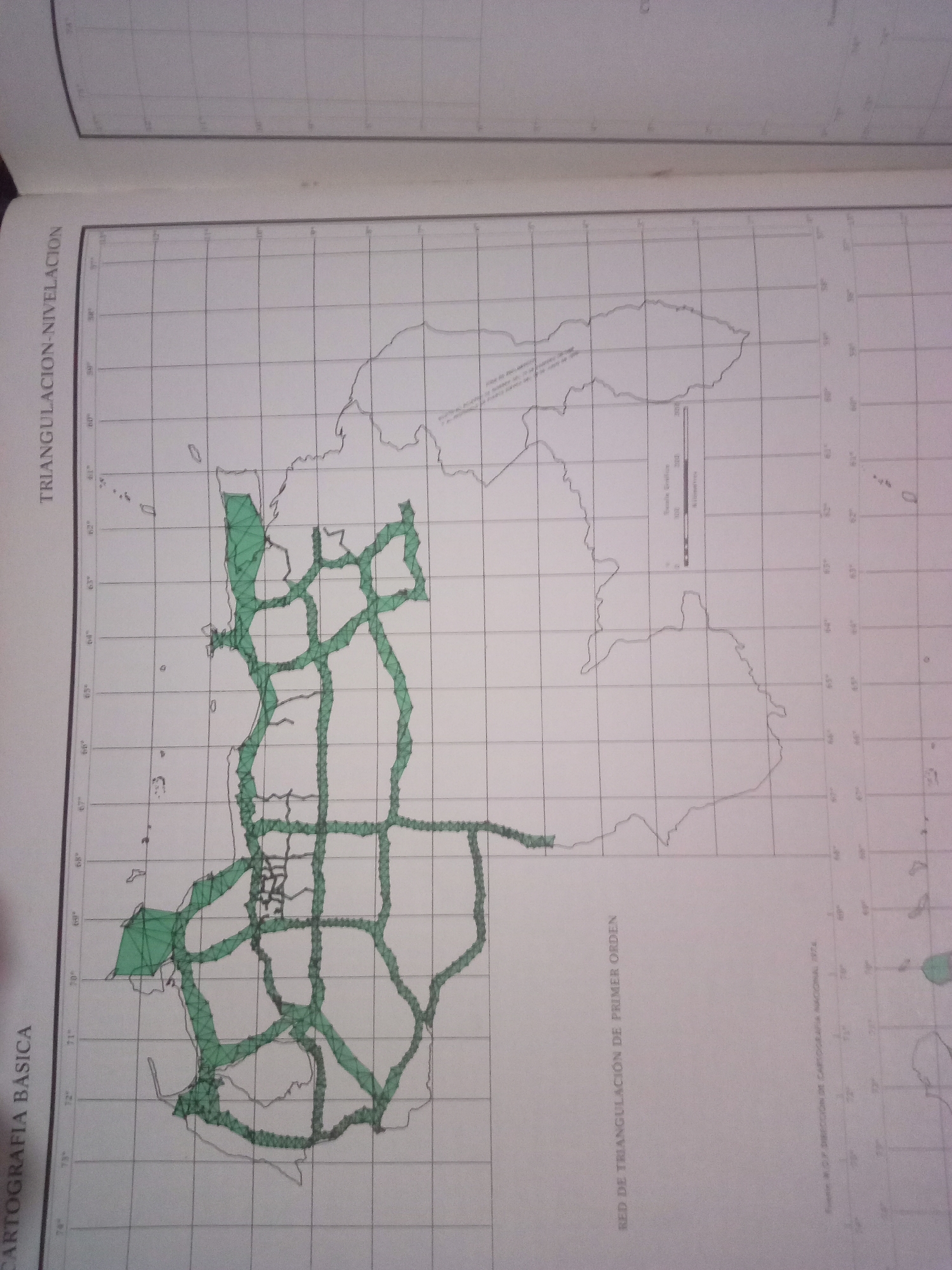
The image is a photograph of a map, likely from a book or atlas. The map displays a grid overlay and a representation of a geographical area, possibly a region or a part of Venezuela given the Spanish text. A network of green lines crisscrosses the map, suggesting roads or a transportation network. Some areas are shaded green, possibly indicating a specific zone or a particular type of terrain. The map has labels in Spanish: "TRIANGULACIÓN NIVELACIÓN" on the left side, and "RED DE TRIANGULACIÓN DE PRIMER ORDEN" and "CARTOGRAFÍA BASICA" on the bottom. There's also a scale bar labeled "Escala Grafica" with units of "Kilometros." The text "DIRECCION DE CARTOGRAFIA NACIONAL 1972" is visible at the bottom right, indicating the source and date of the map. The location of La Tagua, Venezuela, is not explicitly indicated on the map, nor are any people, subjects, or actions depicted. The image is purely a visual representation of cartographic data.
Symbol
81339
Volume
11,550
Creator
+$0.03
Revenue
+$0.05
TVL
$2.40
Loading AttnAds…

2

Rev Bot 🤖💰
Injected revenue 3mo ago
“Revenue bonus for the last stake.”
+$0.05 USD






