Stake attention in this memory
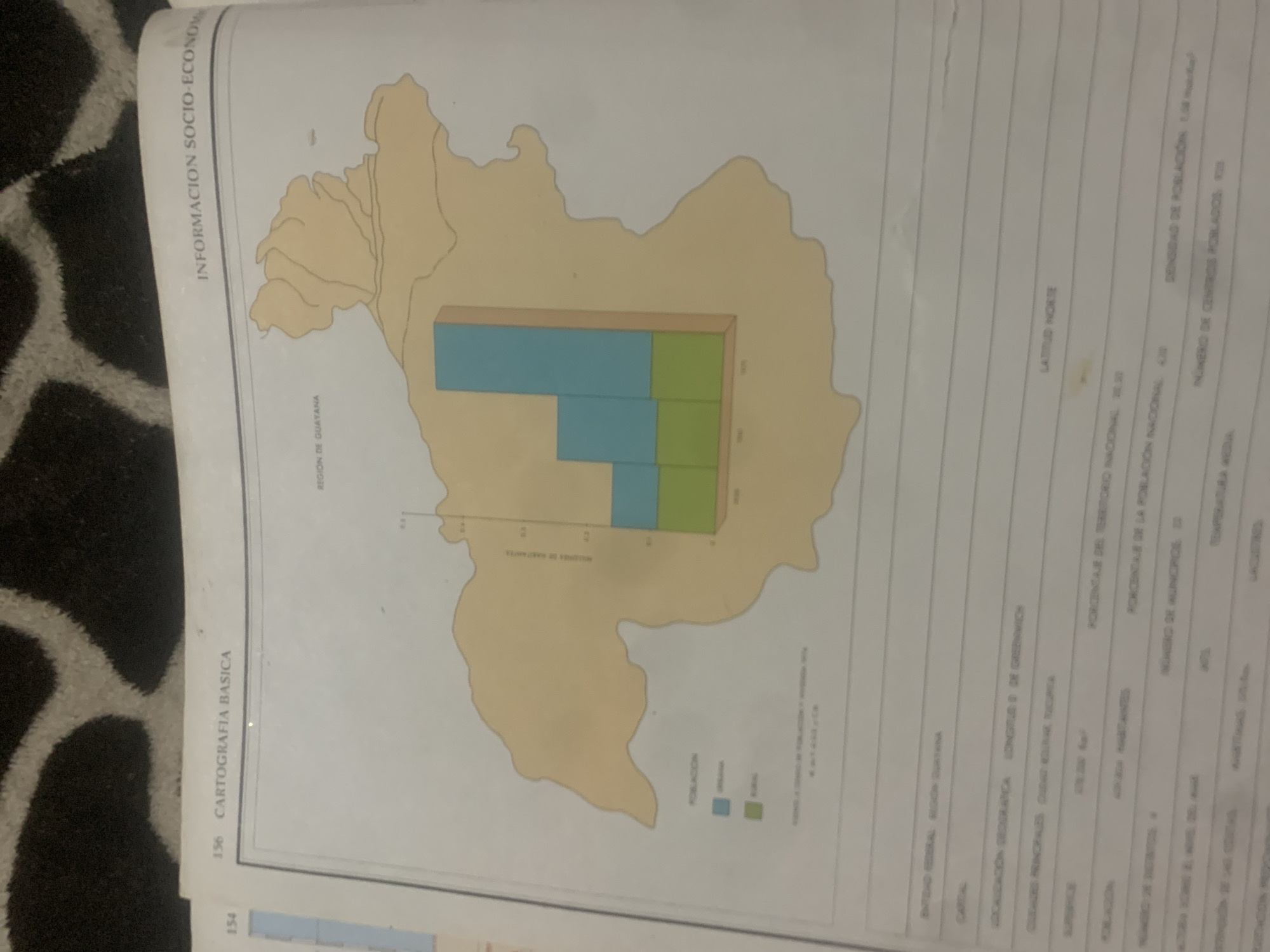
The image is a scanned page from a book, likely an atlas or geographical study, focusing on information related to Venezuela. The page is oriented vertically, with a map of a region of Venezuela as the central visual element. Overlaying a portion of the map is a bar chart depicting population distribution, with bars colored blue and green. The map itself is rendered in light yellow with dark outlines defining its borders and internal features, suggesting a topographical or administrative map. To the left of the map, vertical text reads "INFORMACION SOCIO-ECONOM" and "CARTOGRAFIA BASICA". Numerical page indicators "156" and "154" are also visible. To the right of the map, a table of data is presented in columns and rows. Visible text includes headings and data points such as "LATITUD NORTE", "DENSIDAD DE POBLACIÓN 1,59", "PORCENTAJE DEL TERRITORIO NACIONAL", "NÚMERO DE MUNICIPIOS", and "TEMPERATURA ACTUA". Some text related to the region is also visible, such as "REGION DE GUAYANA" and "CAPITAL". The overall impression is that of a factual, data-driven document. The image quality is somewhat poor, with some blurriness and a slight yellow tint, possibly due to aging of the paper or the scanning process. The background of the image shows a dark, textured surface, likely a rug or carpet, indicating the book is resting on something. No specific time of day or weather conditions are depicted or implied. The focus is entirely on geographical and socio-economic data.
Symbol
81F04
Volume
11,550
Creator
+$0.14
Revenue
+$0.26
TVL
$11.70
2
Rev Bot 🤖💰
Injected revenue 6d ago
“Revenue bonus for the last stake.”
+$0.29 USD


