Stake attention in this memory
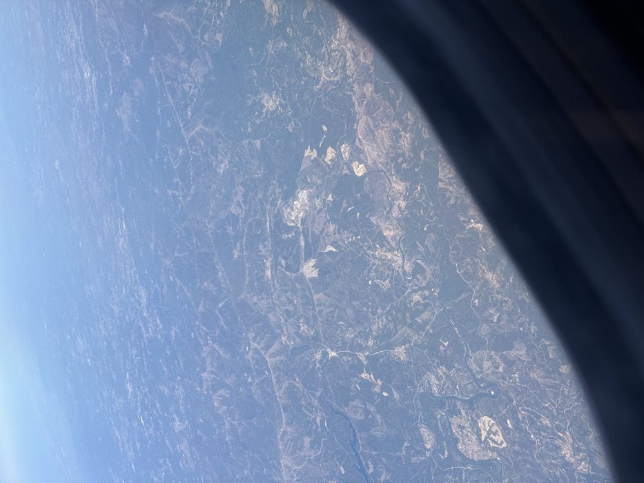
This is a high-altitude aerial photograph captured through an aircraft window, depicting a wide expanse of rural landscape within the region of Saint-Georges-d'Espéranche, France. The terrain is characterized by undulating hills and valleys covered by a mosaic of dark green vegetation, likely forests, intermingled with lighter tan and brown areas indicating fields, clearings, and potentially sparse ground cover. A prominent, sinuous river or large stream traverses the scene, appearing as a dark, winding ribbon. Numerous fine linear elements, consistent with roads or agricultural boundaries, are observable across the topography. Several irregular, bright patches suggest large-scale ground disturbances, possibly quarries or extensive construction sites. The upper portion of the image shows a hazy light blue sky. The lower right quadrant is partially obscured by the dark, curved frame of the aircraft window. No individuals, specific actions, or discernible structures are visible due to the extreme altitude and distance. The environment is uniformly illuminated, suggesting clear daylight conditions.
No transactions found
More from this user