
Stake attention in this memory
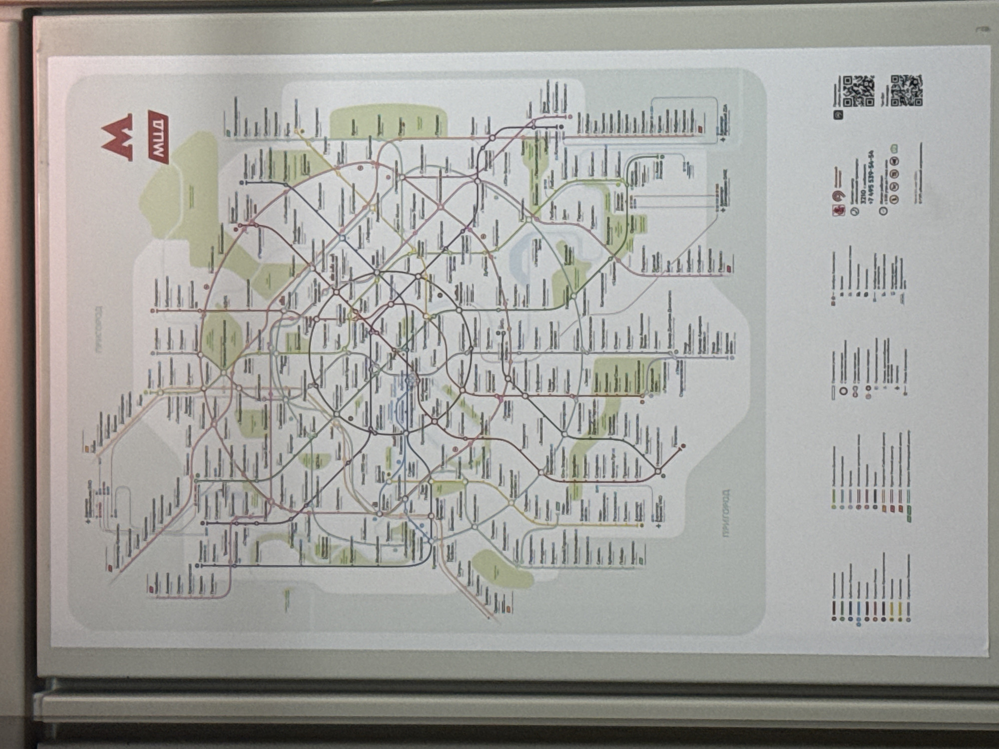
The image shows a section of a Moscow Metro map, featuring a detailed diagram of the subway lines and stations. The map is primarily rendered in white with colored lines representing different metro routes, including red, blue, green, brown, purple, and light blue. Various station names, predominantly in Cyrillic script, are displayed along the lines. Notable elements on the map include: * **The Moscow Metro logo:** A stylized red "M" with "МЦД" (which stands for Moscow Central Diameters) written below it in red. * **"ПРИГОРОД" (PRIGOROD):** This word, meaning "Suburbs" or "Outskirts," appears in large, light grey text in two locations on the map, indicating areas outside the main city center covered by the metro or related transport. * **A key/legend:** Located at the bottom of the image, a legend provides explanations for various symbols and colors used on the map, detailing different types of stations, lines, and services. * **Contact information and QR codes:** Also at the bottom, there is a phone number (+7 495 539-54-54) and several QR codes, likely for accessing further information or services related to the Moscow Metro. The map appears to be displayed in a public space, possibly within a metro station or on a train, given its format and the presence of informational content. The overall environment is neutral, with the focus being entirely on the information presented on the map.
Symbol
82CEA
Volume
10,377
Creator
+$0.00
Revenue
+$0.00
TVL
$5.70
Loading AttnAds…