
Stake attention in this memory
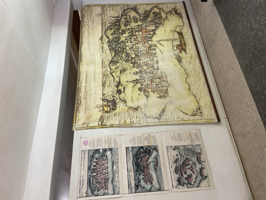
The image shows three framed maps of historical cities on a white wall in the National Museum of Tanzania, located at the coordinates -6.814, 39.294 in Dar es Salaam, Tanzania. The maps are in the style of vintage illustrations and show the layouts of the cities from a bird's-eye perspective. The maps are surrounded by a white border, and each one is labeled with the name of the city. Below each map is a descriptive text in English and Swahili. The largest map in the center shows a large city named "Quiloa" on a coastline. The map shows surrounding terrain, water, and a ship traveling toward the city. The other maps, framed and hung vertically above and below the larger map, are labeled "Mombasa" and "Culeba." The walls are white and there is a black and white speckled tile floor. The room appears to be dimly lit and the lighting comes from the upper left. The images appear to be displayed for museum visitors.
Loading AttnAds…
No transactions found