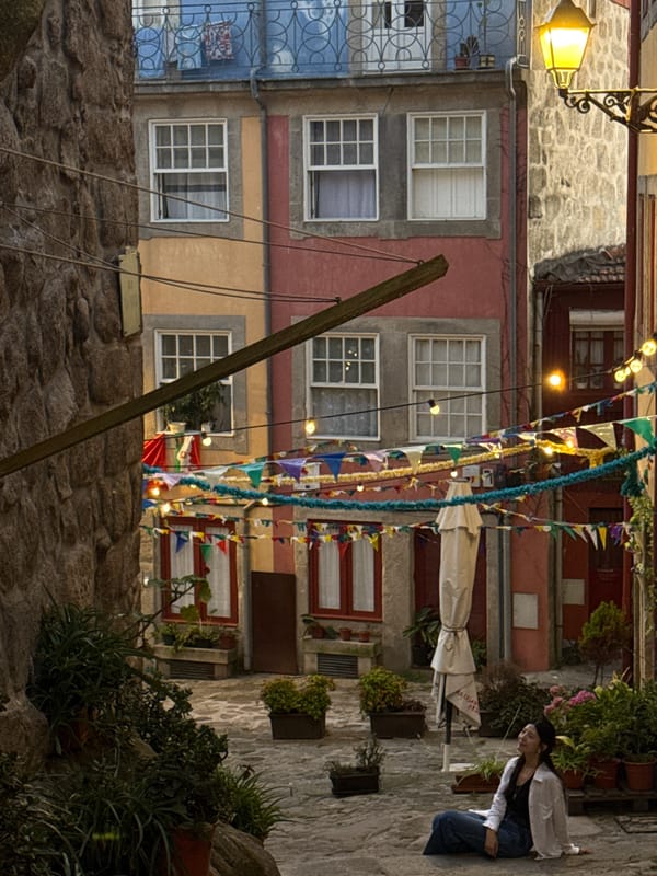
Stake attention in this memory
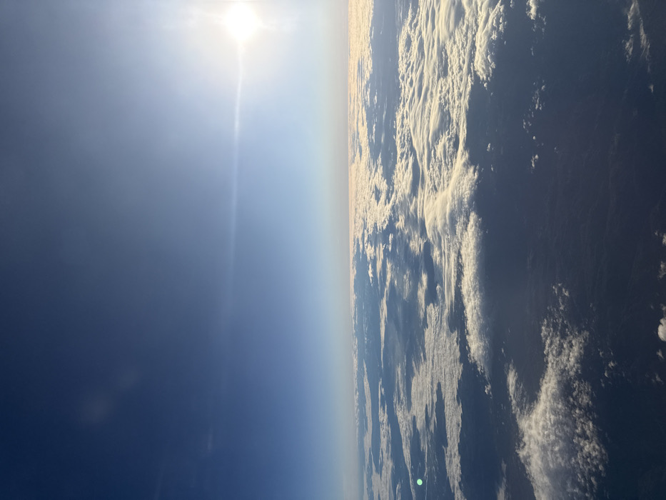
The image displays an aerial view from a high altitude, likely from an aircraft, looking downwards and towards the horizon. The upper two-thirds of the frame consist of a clear blue sky, with the sun prominently visible as a bright light source in the upper right quadrant, generating a distinct lens flare horizontally across the sky. The lower third of the image shows an extensive, uneven layer of white and grey stratiform clouds, partially illuminated by the sun, creating shadows and variations in texture. Darker, obscured landmasses or water bodies are faintly visible through sparse gaps in the cloud cover in the lower portion of the frame. There are no discernible people, specific man-made structures, or unique geographical features to identify a precise ground location. The requested location of Niederanven, Luxembourg, cannot be determined from the visual information present in the image.
Loading AttnAds…
No transactions found