Stake attention in this memory
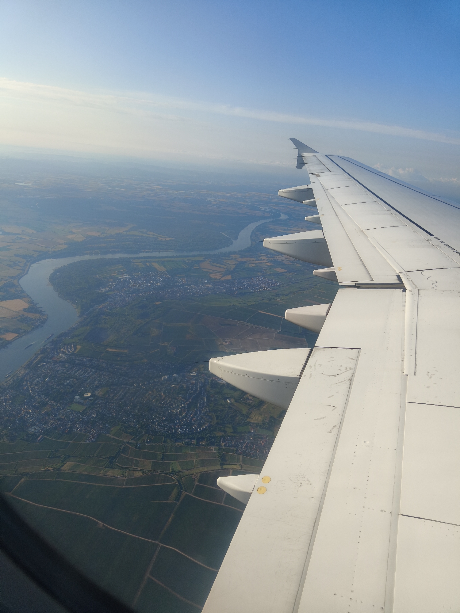
An aerial view from an airplane window shows a curving river, a city, and agricultural fields under a hazy sky. The airplane wing is prominent in the foreground, extending from the right side of the frame diagonally across the image. The river appears to be the Rhine River, with a city and surrounding countryside visible on its banks. The city has a dense pattern of buildings, and beyond it, fields are laid out in a patchwork of different colors and textures, suggesting various crops or land uses, including vineyards. The sky is a light blue with some wispy clouds. The perspective is from a high altitude, looking down and to the side. The scene is peaceful and depicts a transition from urban development to rural landscapes. The image was taken in the vicinity of Frankfurt, Germany, likely from an aircraft approaching or departing the city's airport.
No transactions found