Sign in
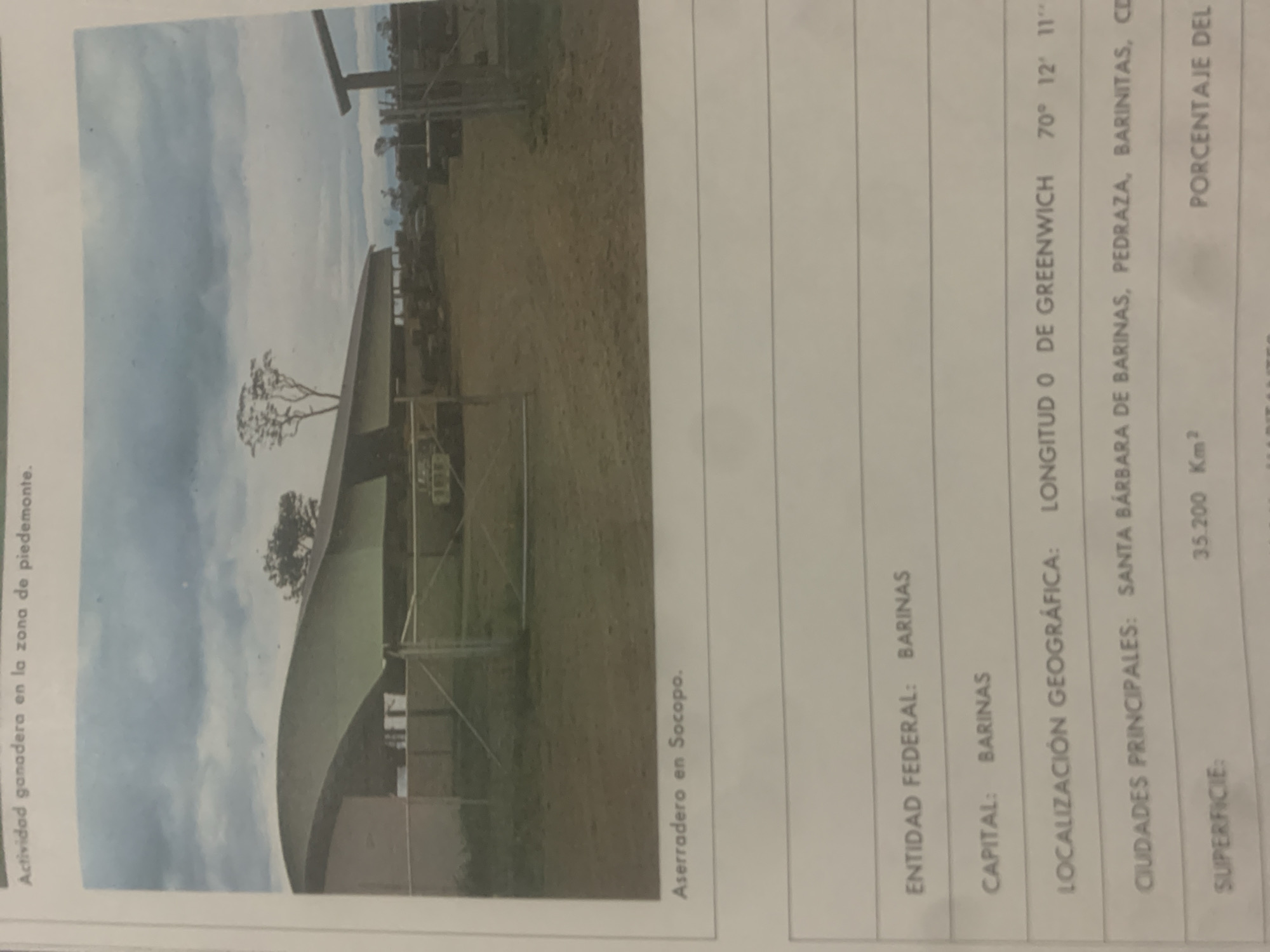
This media file contains a photograph of a rural landscape, likely a farm or ranch, with a building in the foreground. The building appears to be a large, open-sided structure with a curved roof, possibly a shed or storage facility. The surrounding area is a dusty, grassy field with scattered trees. In the background, there are more trees and a partially visible structure that might be a fence or another building. The sky is cloudy, suggesting it could be daytime.

The image is accompanied by text that appears to be a table or informational section. The visible text includes headings such as "Actividad ganadera en la zona de piedemonte" (Livestock activity in the piedmont zone) and "Aserradero en Socopo" (Sawmill in Socopo). Other entries mention "ENTIDAD FEDERAL: BARINAS" (Federal Entity: BARINAS), "CAPITAL: BARINAS" (Capital: BARINAS), and "LOCALIZACIÓN GEOGRÁFICA: LONGITUD O DE GREENWICH 70° 12′ 11”" (Geographical Location: Longitude 0 of Greenwich 70° 12′ 11”). There is also "CIUDADES PRINCIPALES: SANTA BARBARA DE BARINAS, PEDRAZA, BARINITAS, CD" (Principal Cities: Santa Barbara de Barinas, Pedraza, Barinitas, CD) and "SUPERFICIE: 35.200 Km²" (Surface Area: 35,200 Km²). The phrase "PORCENTAJE DEL" is also visible.

Based on the text, the image is related to livestock activity and a sawmill in the piedmont zone of Barinas, Venezuela. The geographical coordinates indicate a specific location within this region. There are no people visible in the photograph. The overall scene is one of agricultural or industrial activity in a rural setting.
bombolico

Jun 25, 2026, 2:31 PM

La Tagua, Venezuela

Stake attention in this memory

nostalgic
rural
industrial
calm
weathered

This media file contains a photograph of a rural landscape, likely a farm or ranch, with a building in the foreground. The building appears to be a large, open-sided structure with a curved roof, possibly a shed or storage facility. The surrounding area is a dusty, grassy field with scattered trees. In the background, there are more trees and a partially visible structure that might be a fence or another building. The sky is cloudy, suggesting it could be daytime. The image is accompanied by text that appears to be a table or informational section. The visible text includes headings such as "Actividad ganadera en la zona de piedemonte" (Livestock activity in the piedmont zone) and "Aserradero en Socopo" (Sawmill in Socopo). Other entries mention "ENTIDAD FEDERAL: BARINAS" (Federal Entity: BARINAS), "CAPITAL: BARINAS" (Capital: BARINAS), and "LOCALIZACIÓN GEOGRÁFICA: LONGITUD O DE GREENWICH 70° 12′ 11”" (Geographical Location: Longitude 0 of Greenwich 70° 12′ 11”). There is also "CIUDADES PRINCIPALES: SANTA BARBARA DE BARINAS, PEDRAZA, BARINITAS, CD" (Principal Cities: Santa Barbara de Barinas, Pedraza, Barinitas, CD) and "SUPERFICIE: 35.200 Km²" (Surface Area: 35,200 Km²). The phrase "PORCENTAJE DEL" is also visible. Based on the text, the image is related to livestock activity and a sawmill in the piedmont zone of Barinas, Venezuela. The geographical coordinates indicate a specific location within this region. There are no people visible in the photograph. The overall scene is one of agricultural or industrial activity in a rural setting.

Loading AttnAds…

transactions
revenues
stakers
Earliest
Latest
Highest stake

No transactions found

More from this user

More from La Tagua

bombolico

Jun 25, 2026, 2:31 PM

La Tagua, Venezuela

Licensed under Creative Commons Attribution 4.0 International License. You are free to share and adapt this content with proper attribution.



