Sign in
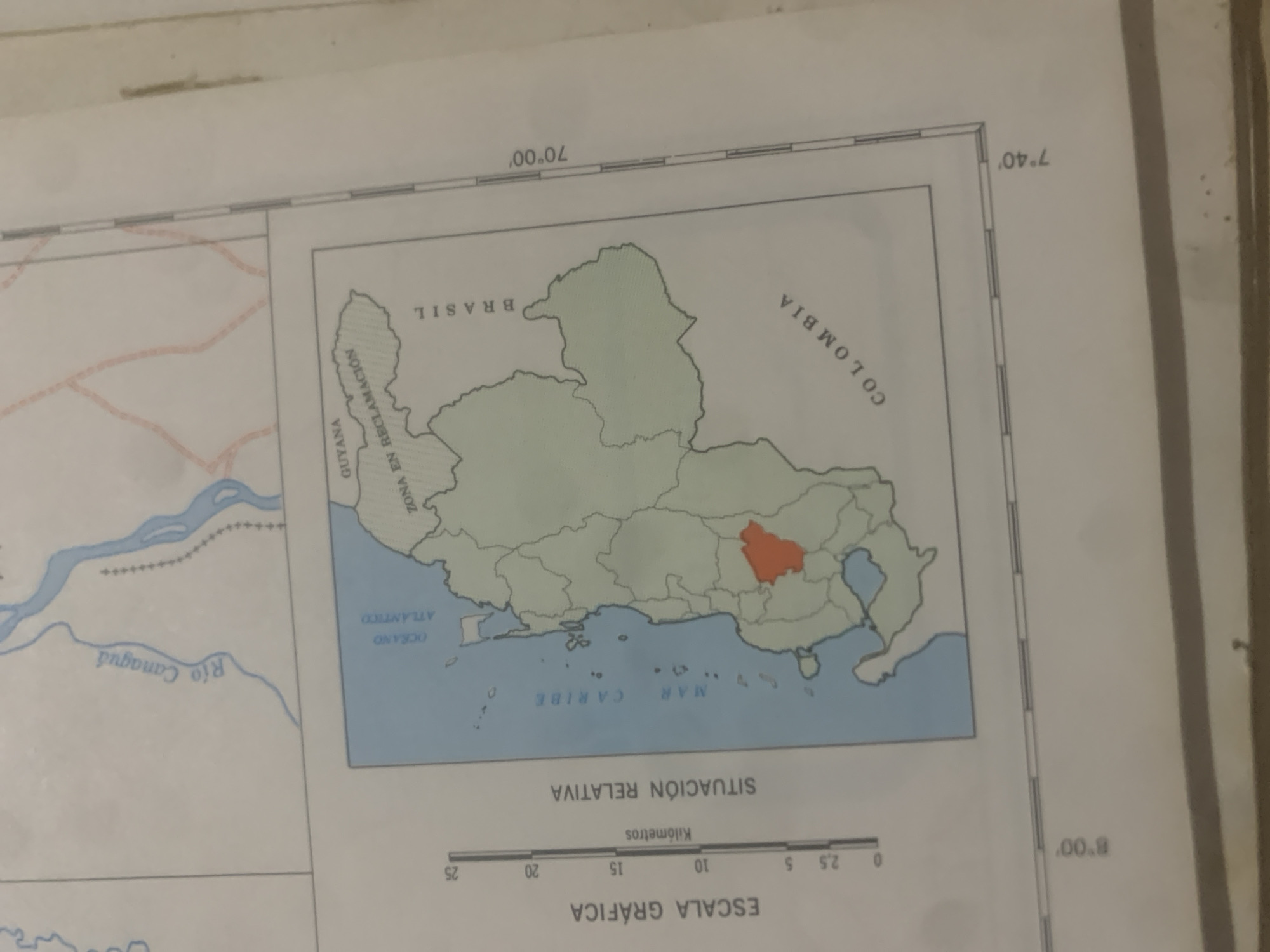
This is a photograph of a map, likely from an atlas or textbook. The map depicts a section of South America, with a highlighted region in what appears to be Colombia and a small portion of Brazil. The map includes geographical features such as rivers, the Caribbean Sea, and the Atlantic Ocean. Text on the map identifies various locations and features, including "COLOMBIA," "BRASIL," "GUYANA," "ZONA EN RECLAMACIÓN," "Río Canaguá," "OCÉANO ATLÁNTICO," and "MAR CARIBE." Latitude and longitude lines are also visible, indicating coordinates such as 7°40' and 70°00'. A graphic scale is provided in kilometers. The overall presentation suggests a geographical or political map focused on regional territories and bodies of water. The image is well-lit, and the map details are relatively clear, although some text is inverted due to the map's orientation. There are no people or specific events depicted, but the map itself represents geographical information. The setting is an indoor environment, likely a room where the map is being displayed or studied.
bombolico

Jun 25, 2026, 2:28 PM

La Tagua, Venezuela

Stake attention in this memory

analytical
serious
formal
neutral
objective

This is a photograph of a map, likely from an atlas or textbook. The map depicts a section of South America, with a highlighted region in what appears to be Colombia and a small portion of Brazil. The map includes geographical features such as rivers, the Caribbean Sea, and the Atlantic Ocean. Text on the map identifies various locations and features, including "COLOMBIA," "BRASIL," "GUYANA," "ZONA EN RECLAMACIÓN," "Río Canaguá," "OCÉANO ATLÁNTICO," and "MAR CARIBE." Latitude and longitude lines are also visible, indicating coordinates such as 7°40' and 70°00'. A graphic scale is provided in kilometers. The overall presentation suggests a geographical or political map focused on regional territories and bodies of water. The image is well-lit, and the map details are relatively clear, although some text is inverted due to the map's orientation. There are no people or specific events depicted, but the map itself represents geographical information. The setting is an indoor environment, likely a room where the map is being displayed or studied.

Loading AttnAds…

transactions
revenues
stakers
Earliest
Latest
Highest stake

No transactions found

More from this user

More from La Tagua

bombolico

Jun 25, 2026, 2:28 PM

La Tagua, Venezuela

Licensed under Creative Commons Attribution 4.0 International License. You are free to share and adapt this content with proper attribution.



