Stake attention in this memory
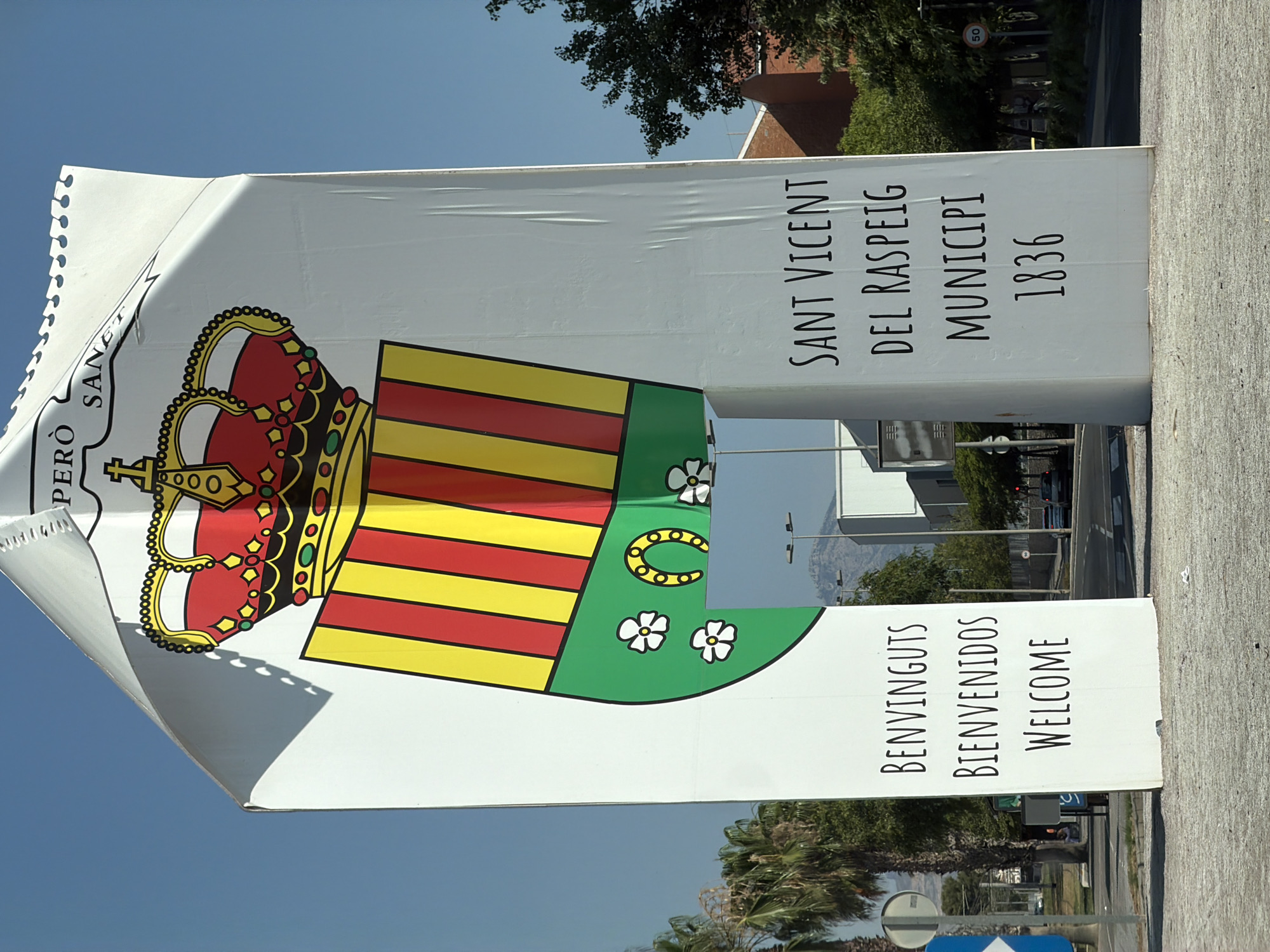
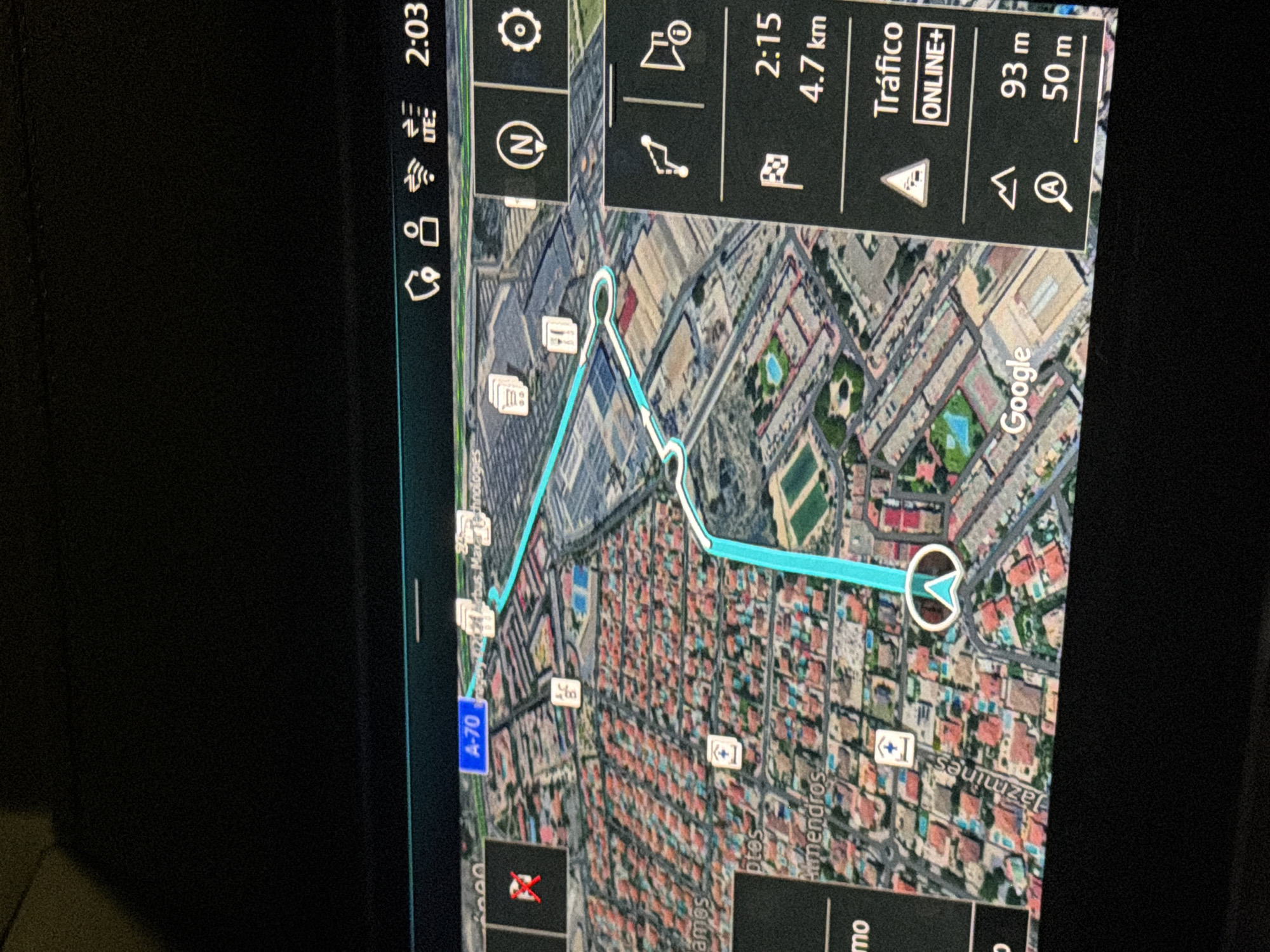
The image shows a car's GPS navigation system displaying a 3D map of a city. The route is highlighted in turquoise. On the right side of the screen, there is a panel with navigation information. It shows a finish line flag icon with "2:15" and "4.7 km" below it, indicating an estimated arrival time and distance. Further down, "Tráfico" (Traffic) is displayed with "ONLINE+" below it, and a traffic sign icon. At the bottom of this panel, there are icons for a mountain peak and a magnifying glass with distances "93 m" and "50 m" next to them. On the left side of the screen, street names like "Almendros" and "Jazmines" are visible. A street sign for "A-70" is also present. The map appears to be of the city of San Vicente Del Raspeig/Sant Vicent Del Raspeig, Spain, with residential areas and some commercial or industrial buildings depicted. The screen is illuminated and appears to be in a dark environment, likely the interior of a vehicle.
No transactions found