Sign in
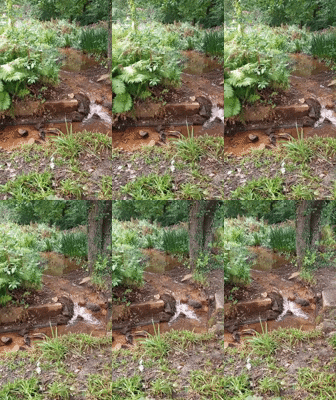
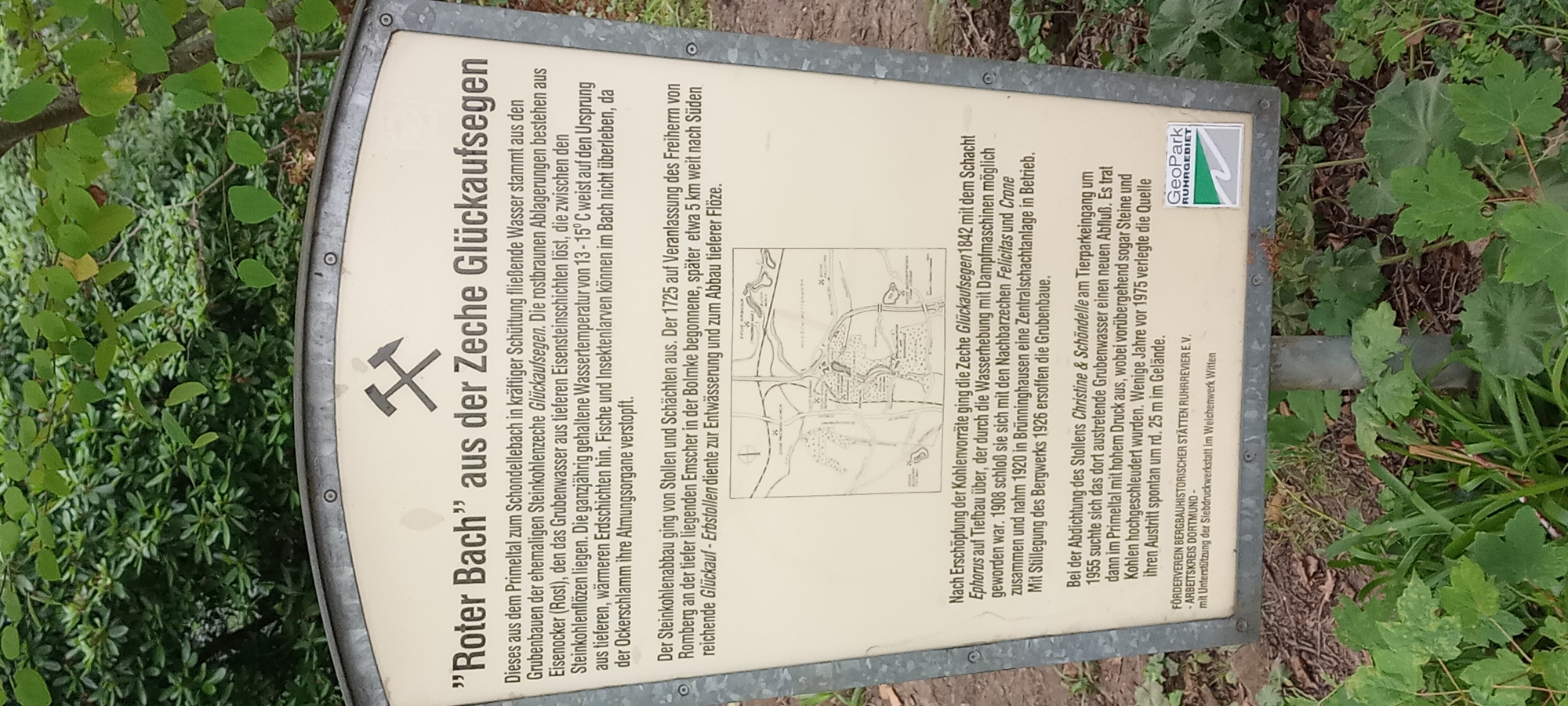
The image shows an informational sign in German with the title ""Roter Bach" aus der Zeche Glückaufsegen". The sign features an illustration of mining tools at the top and a historical map below the text. The text describes the "Roter Bach" as a stream originating from the Primetalt and flowing into the Schondellebach, originating from the former "Glückaufsegen" coal mine. It details the rusty deposits in the water, caused by iron ore from deeper layers of the earth, which make the water unsuitable for aquatic life. The text also mentions the history of the "Glückaufsegen" mine, its operational periods, its connection to other mines, and its eventual flooding. Finally, it notes that in 1955, the mine's drainage was rerouted, causing stones and coal to be discharged. The sign also includes logos for "GeoPark Ruhrgebiet" and "Förderverein Bergbauhistorischer Stätten Ruhrrevier e.V." indicating its location is within the Ruhr area, likely in or around Dortmund, Germany, given the mention of Dortmund in the "Arbeitskreis Dortmund" context. The sign is positioned outdoors, with lush green foliage visible in the background. The ground appears to be covered with soil, leaf litter, and some green plants.
nikolol

Aug 23, 2026, 2:22 PM

Dortmund, Germany

Stake attention in this memory

nostalgic
historical
informative
curious
melancholic

The image shows an informational sign in German with the title ""Roter Bach" aus der Zeche Glückaufsegen". The sign features an illustration of mining tools at the top and a historical map below the text. The text describes the "Roter Bach" as a stream originating from the Primetalt and flowing into the Schondellebach, originating from the former "Glückaufsegen" coal mine. It details the rusty deposits in the water, caused by iron ore from deeper layers of the earth, which make the water unsuitable for aquatic life. The text also mentions the history of the "Glückaufsegen" mine, its operational periods, its connection to other mines, and its eventual flooding. Finally, it notes that in 1955, the mine's drainage was rerouted, causing stones and coal to be discharged. The sign also includes logos for "GeoPark Ruhrgebiet" and "Förderverein Bergbauhistorischer Stätten Ruhrrevier e.V." indicating its location is within the Ruhr area, likely in or around Dortmund, Germany, given the mention of Dortmund in the "Arbeitskreis Dortmund" context. The sign is positioned outdoors, with lush green foliage visible in the background. The ground appears to be covered with soil, leaf litter, and some green plants.

Loading AttnAds…

transactions
revenues
stakers
Earliest
Latest
Highest stake

No transactions found

More from this user

More from Dortmund

nikolol

Aug 23, 2026, 2:22 PM

Dortmund, Germany

Licensed under Creative Commons Attribution 4.0 International License. You are free to share and adapt this content with proper attribution.