
Sign in
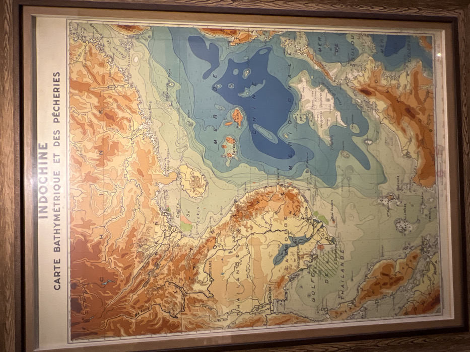
A framed map of Indochina, titled "Carte Bathymétrique et des Pêcheries" (Bathymetric and Fishing Chart). The map features terrain rendered in shades of brown and tan, with bodies of water depicted in varying blues, indicating depth. Notable locations labeled include Bangkok, Vientiane, and the Gulf of Thailand. The South China Sea is prominently displayed, as are surrounding landmasses. The map appears to be a vintage geographical representation of the region.
burn in hell

Jan 2, 2026, 7:06 AM

Nha Trang, Vietnam

Stake attention in this memory

map
Indochina
bathymetric
fisheries
framed

A framed map of Indochina, titled "Carte Bathymétrique et des Pêcheries" (Bathymetric and Fishing Chart). The map features terrain rendered in shades of brown and tan, with bodies of water depicted in varying blues, indicating depth. Notable locations labeled include Bangkok, Vientiane, and the Gulf of Thailand. The South China Sea is prominently displayed, as are surrounding landmasses. The map appears to be a vintage geographical representation of the region.

Loading AttnAds…

transactions
revenues
stakers
Earliest
Latest
Highest stake

No transactions found
More from this user

More from Nha Trang

burn in hell

Jan 2, 2026, 7:06 AM

Nha Trang, Vietnam

Licensed under Creative Commons Attribution 4.0 International License. You are free to share and adapt this content with proper attribution.