
Stake attention in this memory
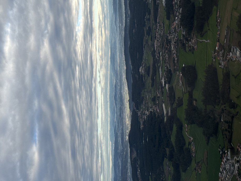
An aerial image captures an expansive, variegated landscape identified as being within the municipality of Matosinhos, Portugal. The upper third of the frame is dominated by an unbroken canopy of textured, grey stratocumulus clouds, with localized brighter areas indicating diffuse daylight penetration. Below the cloud line, multiple distant mountain ranges are visible, partially obscured by a layer of atmospheric haze or low-lying mist that also veils a discernible, luminous urban area in the mid-distance. The foreground and mid-ground present a patchwork topography comprising extensive dark green forested tracts, interspersed with rectangular light green agricultural fields, some exhibiting faint patterns suggestive of cultivation or structures like greenhouses. Scattered across this terrain are numerous clusters of residential buildings, forming small villages or hamlets, characterized by light-colored roofs. A network of thin, winding roads, light grey in color, interconnects these settlements and traverses the landscape. No individuals, direct actions, or interactions are present in the static scene. The environment is characterized by a mix of natural forestry, cultivated land, and low-density human habitation under an overcast sky.
Loading AttnAds…
No transactions found