
Stake attention in this memory
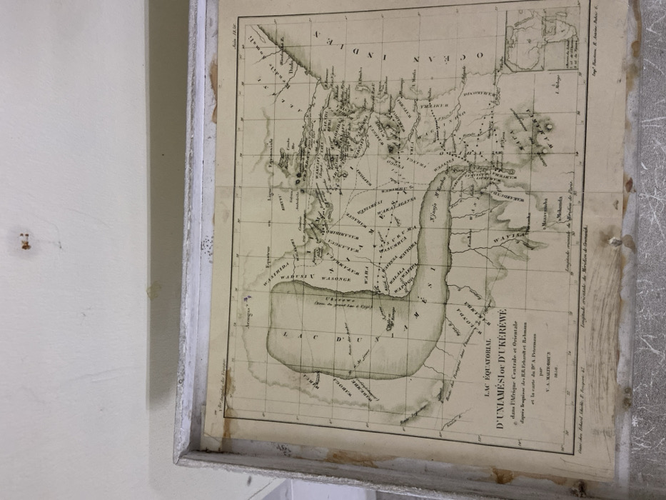
The image shows a framed map of Lake Victoria, which is located in East Africa. The map is a historical one titled “Lac Equatorial D’Uniamésie D’Ukerewe,” which translates to “Equatorial Lake of Uniamésie of Ukerewe.” The map was created in the 19th century. It depicts the lake and surrounding area, with a focus on the islands. The map is printed in black and white, with handwritten text labels in French. The map is framed in white, and is hanging on a wall in a room at the coordinates -6.814, 39.295 in Dar es Salaam, Tanzania. The map is slightly warped and aged. The map is in a museum, with some damage to its edges. It is a delicate artifact. The map is framed in a simple white frame. The room is brightly lit.
Loading AttnAds…
No transactions found