Sign in
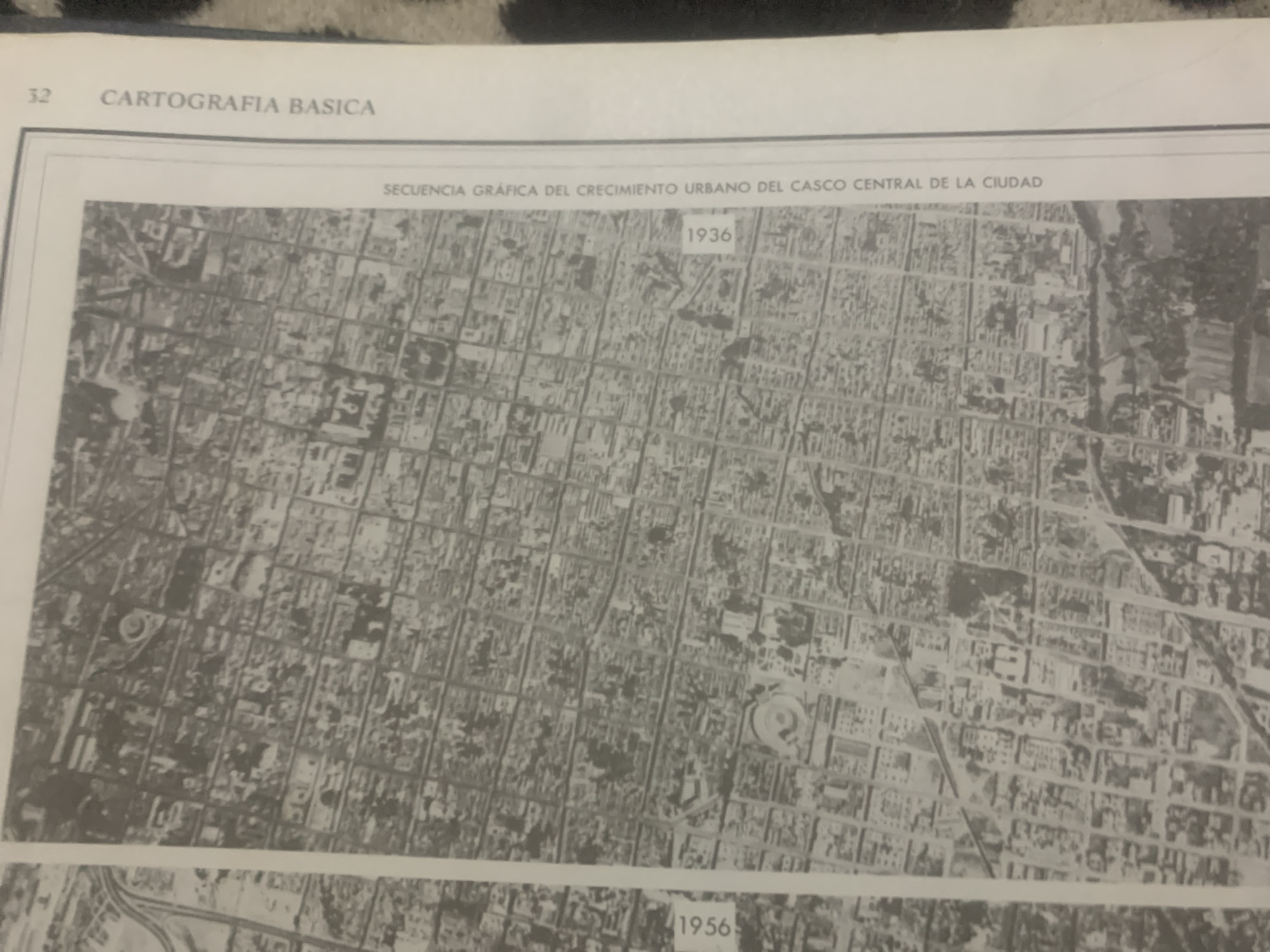
The image shows a page from a book or publication titled "CARTOGRAFIA BASICA" on the top left, with the page number "32". Below this is a caption that reads "SECUENCIA GRÁFICA DEL CRECIMIENTO URBANO DEL CASCO CENTRAL DE LA CIUDAD". This translates to "GRAPHIC SEQUENCE OF THE URBAN GROWTH OF THE CENTRAL CITY AREA".

The main content of the image is a black and white aerial photograph of a city. The photograph is divided into two sections, indicated by the years "1936" and "1956" printed in small rectangles. The "1936" section shows a denser urban fabric with a grid-like street layout. There are many buildings visible, appearing as small, dark rectangles. In the "1956" section, which is below the "1936" section and partially visible, the urban area appears to have expanded and changed, with what looks like newer infrastructure or development. The details in the aerial photographs are not sharp enough to discern specific objects or people. The scene depicts a historical urban landscape, illustrating changes over a twenty-year period. There are no clear indications of time of day, weather, or emotions. The location is identified as La Tagua, Venezuela in the prompt.
bombolico

Jun 25, 2026, 2:13 PM

La Tagua, Venezuela

Short Term

Stake attention in this memory

nostalgic
historical
introspective
observational
analytical

The image shows a page from a book or publication titled "CARTOGRAFIA BASICA" on the top left, with the page number "32". Below this is a caption that reads "SECUENCIA GRÁFICA DEL CRECIMIENTO URBANO DEL CASCO CENTRAL DE LA CIUDAD". This translates to "GRAPHIC SEQUENCE OF THE URBAN GROWTH OF THE CENTRAL CITY AREA". The main content of the image is a black and white aerial photograph of a city. The photograph is divided into two sections, indicated by the years "1936" and "1956" printed in small rectangles. The "1936" section shows a denser urban fabric with a grid-like street layout. There are many buildings visible, appearing as small, dark rectangles. In the "1956" section, which is below the "1936" section and partially visible, the urban area appears to have expanded and changed, with what looks like newer infrastructure or development. The details in the aerial photographs are not sharp enough to discern specific objects or people. The scene depicts a historical urban landscape, illustrating changes over a twenty-year period. There are no clear indications of time of day, weather, or emotions. The location is identified as La Tagua, Venezuela in the prompt.

Symbol

8628C

Volume

11,550

Creator

+$0.08

Revenue

+$0.10

TVL

$6.70

1D
1W
1M
All

Loading AttnAds…

transactions
revenues
stakers
Earliest
Latest
Highest stake

1

Katy

Staked 11d ago

$6.68 USD

+$0.03 USD

+0.4%

2

Rev Bot 🤖💰

Injected revenue 11d ago

Revenue bonus for the last stake.

+$0.11 USD

More from this user

More from La Tagua

bombolico

Jun 25, 2026, 2:13 PM

La Tagua, Venezuela

Licensed under Creative Commons Attribution 4.0 International License. You are free to share and adapt this content with proper attribution.





